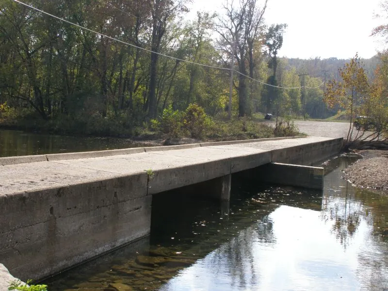

The water below the Arkansas Grand Canyon view belongs to the western Big Creek drainage, not the Buffalo River's main channel 3,4,5. Dry Branch flows into the Left Fork of Big Creek, which joins Big Creek before the creek reaches the Buffalo near Carver 3,4,5,6. That connection ties the canyon to the Buffalo National River, established in 1972, and to the continuing debate over protecting water in its tributaries 1,2,7,8,9.
Which river is below the Arkansas Grand Canyon?
From the Highway 7 rim, the valley view runs roughly east across the western Big Creek drainage toward Vendor 3,10,11. Federal stream mapping identifies the sequence as Dry Branch, the Left Fork of Big Creek, Big Creek and finally the Buffalo River 3,4,5,6. The Little Buffalo occupies a separate valley to the west and northwest 3.
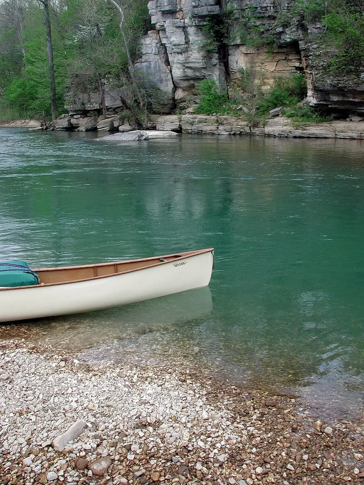

Big Creek starts in Newton County and flows generally north past Mount Judea to meet the Buffalo at Carver, near the Highway 123 bridge 3,6,12. By drainage area, it is the Buffalo's fifth-largest tributary 4. The National Park Service gives its watershed as 83.5 square miles, while USGS gauge data gives 89.9 square miles at Carver; the difference reflects how the drainage boundary is drawn 13,14. These figures should retain their source labels rather than be combined into one supposedly exact watershed size 13,14.


Why karst matters to the creek
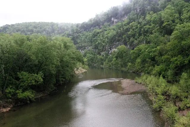
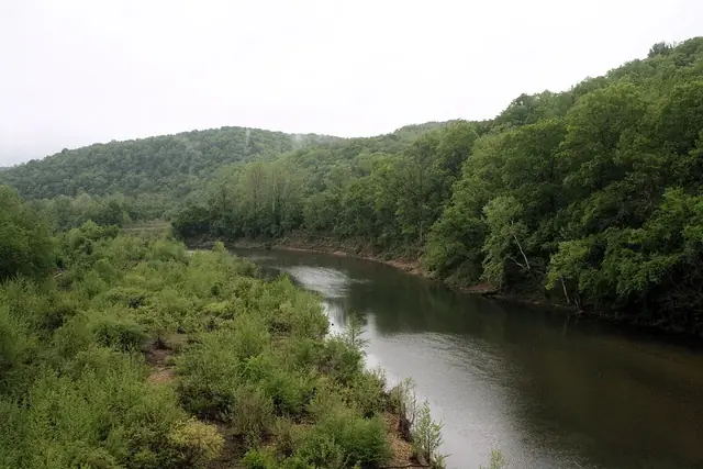
Boone limestone under the valley creates karst, a landscape in which groundwater moves through cracks and channels in rock, often beneath soil 15,16. Researchers describe Big Creek Valley as “mantled karst,” emphasizing that the underground drainage can be hidden below the surface 16. The geology of the Arkansas Grand Canyon includes both the stream-carved valley and this less visible water system 15,16,17,18.
A USGS investigation in October 2020 documented creek reaches that lose water to the ground and others that gain it back 4. Dye injected in the Left Fork was recovered about 2.9 miles downstream 4. That result documents a particular water connection, not Big Creek's full length or a recreational route 4. Its exact headwater and total length have not been established 3,4,6.
When was Buffalo National River established?
Congress established Buffalo National River on March 1, 1972, through Public Law 92-237 1,2. It was the first national river in the United States and protects 135 miles of free-flowing river 1,2. The founding law bars federally supported dams and water projects that would harm the river 1.
Protection also had a human cost: land purchases for the park displaced some residents 2,19. The national river's history therefore includes both the preservation of a free-flowing river and changes imposed on people who had lived along it 2,19. Its founding is a major event in the regional timeline, not simply a designation attached to a scenic landscape 1,2.
The fight against dams at Gilbert and Lone Rock
During the 1950s and 1960s, the U.S. Army Corps of Engineers proposed dams at Gilbert and Lone Rock 2,20,21,22. Dr. Neil Compton and others founded the Ozark Society in 1962 to oppose those projects 20,21.
Senator J. William Fulbright initially supported the dams, then changed his position and helped secure a National Park Service survey in 1961 2,22. Congressman James Trimble supported the dams 2. John Paul Hammerschmidt's election in 1966 preceded the introduction of national-river legislation in 1967 and its final enactment in 1972 2,20,21,22.
The river's protected status was the result of a long political and conservation struggle, rather than a single decision made in 1972 2,20,21,22. The Ozark Society's history and the National Park Service's account of Neil Compton provide background on that effort 20,21.
C&H Hog Farms and the Big Creek controversy
C&H Hog Farms received permit coverage in 2012 for a large swine operation near Mount Judea on Big Creek and opened in early 2013 7,8. Waste ponds and the spreading of manure on fields in karst terrain raised concern about possible effects on the Buffalo downstream 7,8.
The University of Arkansas's Big Creek Research and Extension Team monitored the creek from September 2013 to July 2019 23. Average nitrate-nitrogen measured 0.13 mg/L upstream and 0.29 mg/L downstream 23. Outside reviewers agreed that significant farm-related effects had not been demonstrated at that time, while also identifying uncertainty about karst pathways and long-term nutrient buildup 23,24.
The National Park Service documented low-oxygen and E. coli concerns during 2013 to 2015 without identifying a single source 14. Those findings and the university monitoring answer different parts of the water-quality question; neither supports a simple claim that all problems came from the farm or that the farm had no effect 9,14,23,24.
Permit denial, closure and conservation easement
State regulators denied the farm's new permit on January 10, 2018, but the decision did not immediately end operations 7,25. In June 2019, Arkansas reached a $6.2 million agreement to close the farm and place a permanent conservation easement on the land 26,27. Closure was reported in January 2020 28.
| Date | Event |
|---|---|
| 2012 | C&H Hog Farms receives permit coverage 7,8. |
| Early 2013 | The operation opens near Mount Judea on Big Creek 7,8. |
| September 2013 to July 2019 | University of Arkansas researchers monitor the creek 23. |
| January 10, 2018 | State regulators deny the new permit 25. |
| June 2019 | The state reaches a $6.2 million closure and conservation-easement agreement 26,27. |
| January 2020 | The farm's closure is reported 28. |
| June 20, 2025 | Arkansas approves a permanent prohibition on swine CAFO permits in the Buffalo watershed, with defined exceptions for existing permits 29. |
The 2025 rule concerns swine concentrated animal feeding operation permits, commonly shortened to swine CAFO permits 29. It does not ban all livestock or farming in the watershed, and it includes defined exceptions for existing permits 29.
What does the 2026 water assessment show?
Arkansas's 2026 water-quality assessment lists Big Creek as impaired for E. coli and fish community health 9. It also lists Big Creek and the Left Fork for low oxygen during critical seasons 9.
The assessment says the sources of bacteria have not been specifically identified 9. Possible sources include agriculture, sewage and septic systems, tourism and wildlife, with transport through karst 9. An impairment listing records a water-quality problem; the report does not assign that problem to one confirmed source 9.
Paddling Big Creek and the upper Buffalo
For trip planning, distinguish Big Creek's watershed from the Buffalo's established river accesses 3,4,30. The creek's documented losing and gaining reaches, and the absence of an established total length, do not provide a verified Big Creek float itinerary 3,4,6. Do not turn the drainage sequence into a put-in and take-out recommendation.
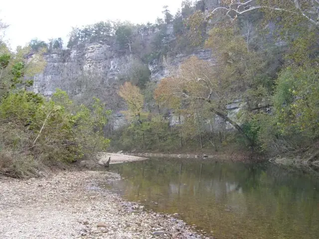
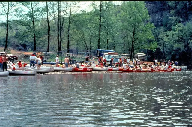
On the Buffalo downstream from Highway 7, the accesses run Pruitt, Hasty, Carver, Mount Hersey and Woolum 30. Carver is where Big Creek joins the main river, near the Highway 123 bridge 3,6,12. The distances below are Buffalo River miles, not road miles or lengths of Big Creek 30.


| Buffalo River section | River distance |
|---|---|
| Pruitt to Hasty | 6.8 miles 30. |
| Hasty to Carver | 4.2 miles 30. |
| Carver to Mount Hersey | 6.8 miles 30. |
| Mount Hersey to Woolum | 8.6 miles 30. |
Upper-river floating depends on rainfall 31. Consult the National Park Service's upper-district paddling guidance and its river-access and mileage directory when choosing a Buffalo trip 30,31. For other activities, see things to do near the canyon and the visiting guide.

Related reading
- Geology: rock layers and karst.
- Nature and seasons: forests, wildlife and weather.
- Scenic Highway 7: the road above the drainage.
- Historical timeline: river protection and later events.
- Myths and facts: corrections to familiar claims.
Sources for this page
Numbers in the text match this list. Bracketed numbers link to the complete source list. Accessed on or before November 3, 2026.
- Public Law 92-237, March 1, 1972 www.congress.gov/92/statute/STATUTE-86/STATUTE-86-Pg44.pdf [23]
- CALS Encyclopedia of Arkansas: Buffalo National River encyclopediaofarkansas.net/entries/buffalo-national-river-7/ [24]
- USGS National Hydrography Dataset: Large-scale flowlines hydro.nationalmap.gov/arcgis/rest/services/nhd/MapServer/6 [10]
- USGS: Big Creek seepage and dye-tracing data release www.usgs.gov/data/seepage-investigation-and-dye-tracing-characterize-bas… [11]
- USGS GNIS: Big Creek, Left Fork, and both Dry Branch records carto.nationalmap.gov/arcgis/rest/services/geonames/MapServer/6/query?f=… [12]
- University of Arkansas: Sokolosky thesis on Big Creek geochemistry, 2019 scholarworks.uark.edu/cgi/viewcontent.cgi?article=4950&context=etd [27]
- ADEQ: C&H notice of coverage and modification correspondence adeq.state.ar.us/downloads/WebDatabases/PermitsOnline/NPDES/PermitInform… [103]
- CALS Encyclopedia of Arkansas: C&H Hog Farms encyclopediaofarkansas.net/entries/ch-hog-farm-20159/ [104]
- Arkansas DEQ: 2026 Integrated Water Quality Monitoring and Assessment Report adeq.state.ar.us/water/planning/integrated/303d/pdfs/2026/2026%20305%28b… [112]
- Cliff House Inn: Published coordinates and directions cliffhouseinnar.com/contact/ [1]
- USGS GNIS: Vendor, Mount Judea, and Red Rock carto.nationalmap.gov/arcgis/rest/services/geonames/MapServer/3/query?f=… [26]
- NPS: Paddle Hasty to Carver www.nps.gov/thingstodo/paddle-hasty-to-carver.htm [97]
- USGS station metadata for Dry Branch, Left Fork near Vendor, and Big Creek at Carver waterservices.usgs.gov/nwis/site/?format=rdb&sites=07055800,07055792,070… [31]
- NPS legislative handout: Big Creek, March 29, 2016 www.arkleg.state.ar.us/Home/FTPDocument?path=%2FAssembly%2FMeeting+Attac… [98]
- Arkansas Geological Survey: Mount Judea geological map, revised 2015 geology.arkansas.gov/docs/pdf/maps-and-data/geologic_maps/24k/Mount%20Ju… [15]
- Murdoch, Bitting, and Van Brahana: Boone karst hydrogeology in Big Creek Valley, 2016 link.springer.com/article/10.1007/s12665-016-5981-y [30]
- Encyclopedia of Arkansas, "Boston Mountains" (Margaret J. Guccione) encyclopediaofarkansas.net/entries/boston-mountains-2389/ [13]
- Arkansas Archeological Survey: Geology of Ozark bluff shelters archeology.uark.edu/ozarkbluffshelters/basics/geology/ [16]
- NPS: Buffalo National River Water Quality www.nps.gov/buff/learn/nature/waterquality.htm [99]
- The Ozark Society: About Us www.ozarksociety.net/about-us/ [100]
- NPS: Dr. Neil Compton www.nps.gov/people/dr-neil-compton.htm [101]
- NPS: Senator J.W. Fulbright www.nps.gov/people/senator-j-w-fulbright.htm [102]
- BCRET: Revised Final Report, December 31, 2019 bigcreekproject.uada.edu/files/2023/04/BCRET_Final_Report_12-31-2019_Rev… [105]
- External Expert Panel: Review of C&H Farms Research Project bigcreekproject.uada.edu/files/2023/04/Buffalo_River_Final_Review_10-24-… [106]
- ADEQ: Notice of Final Permitting Decision, January 10, 2018 buffaloriveralliance.org/wp-content/uploads/2026/02/Notice-of-Final-Perm… [107]
- DEQ: Conceptual Closure Plan for C&H Waste Storage Ponds adeq.state.ar.us/water/pdfs/mt_judea_cafo_ponds_closure_plan_20190927.pd… [108]
- C&H and State of Arkansas: Closure Agreement, June 2019 buffaloriveralliance.org/wp-content/uploads/2026/02/closure.pdf [109]
- Arkansas Money & Politics: C&H Hog Farms Officially Closes armoneyandpolitics.com/ch-hog-farms-officially-closes/ [110]
- Arkansas Pollution Control and Ecology Commission: Final Rule 6, 2025 adeq.state.ar.us/regs/files/rule-6-final.pdf [111]
- NPS: River Accesses and Mileage www.nps.gov/buff/planyourvisit/river-accesses-mileage.htm [113]
- NPS: Upper District Paddling www.nps.gov/buff/planyourvisit/upper-district-paddling.htm [114]