Updated November 3, 2026 · Fact-checked November 3, 2026 · 15 min read
119 photos of the Arkansas Grand Canyon and the places, roads and history around it, grouped by the chapter where each one appears, followed by a few more from the wider region. Tap any photo to see it larger.
Every photo is either in the public domain, published under a Creative Commons license that allows reuse, or supplied by its owner. The photographer, license and original source are listed under each one. Photographs made by federal agencies (the National Park Service, the U.S. Forest Service and the Library of Congress engineering surveys) are in the public domain.
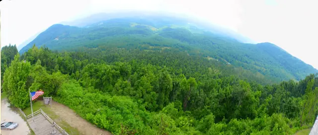
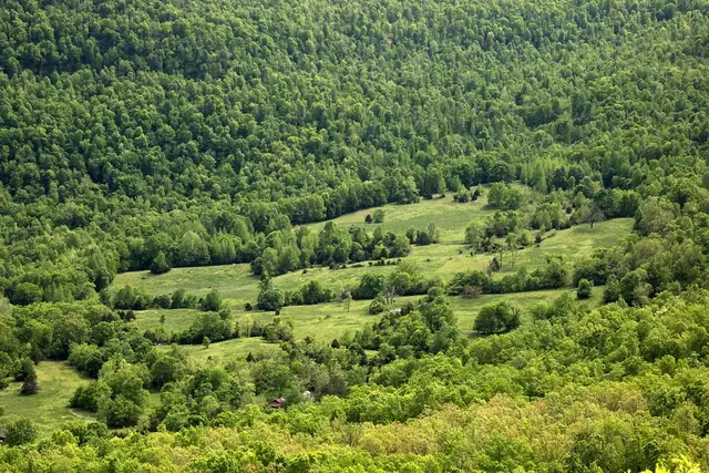
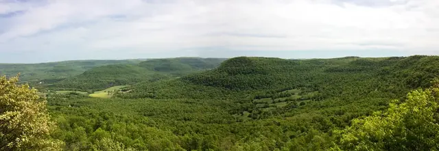
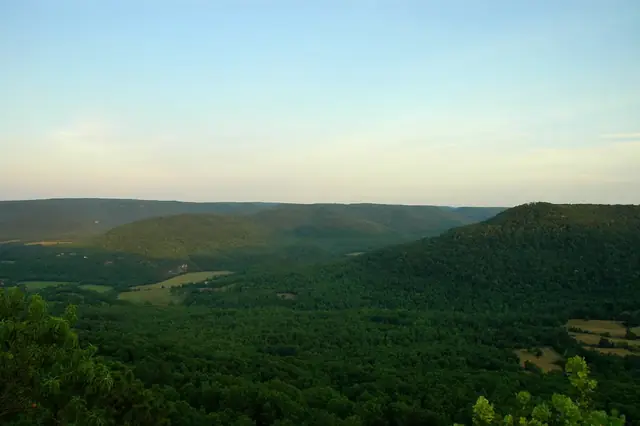
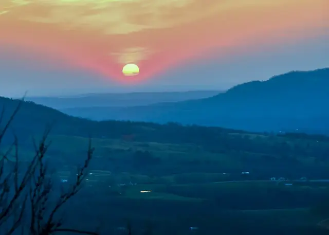
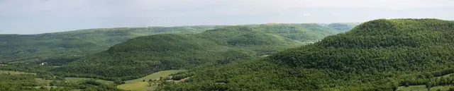
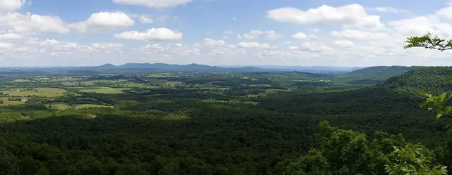
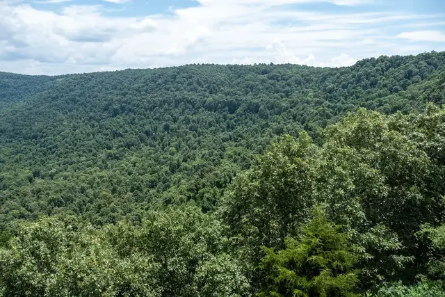
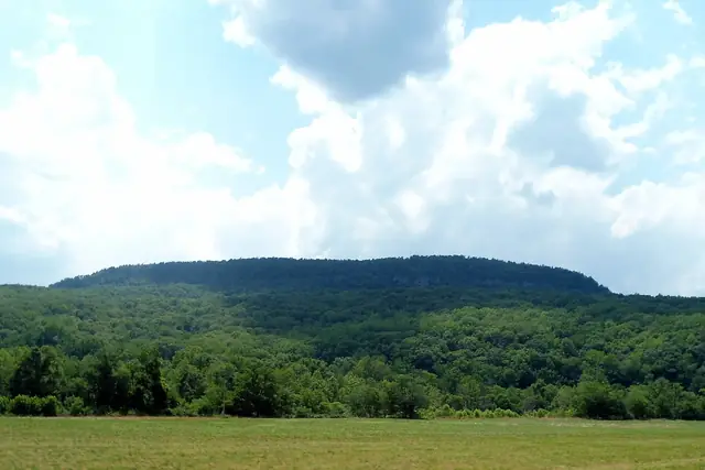
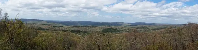
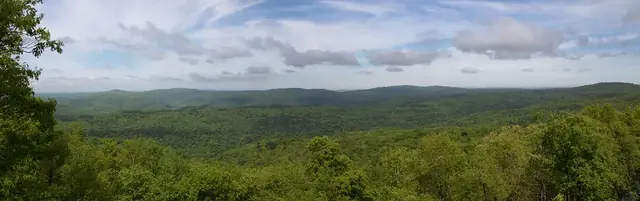
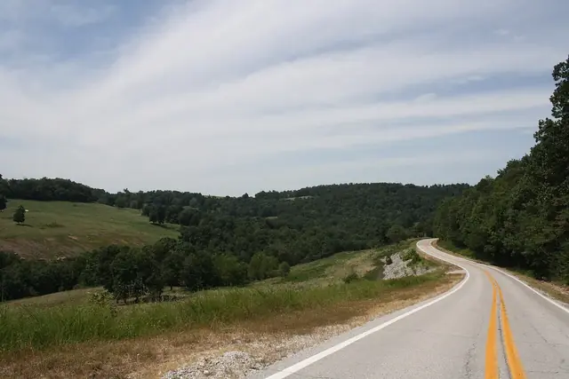
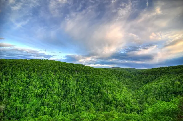
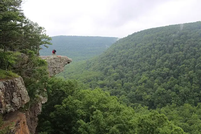
Forested ridges beyond a viewing deck and flag at the Highway 7 overlook south of Jasper. Dameon Hudson · CC BY 3.0 · via Wikimedia CommonsFields and forested slopes in the Arkansas Grand Canyon near Jasper, photographed in 2017. ksblack99 · Public Domain Mark 1.0 · via FlickrA broad view of forested ridges in the Arkansas Grand Canyon near Jasper, photographed in 2017. ksblack99 · Public Domain Mark 1.0 · via FlickrForested ridges in a view titled "The Grand Canyon of the Ozarks," photographed in 2006. Clinton Steeds · CC BY 2.0 · via FlickrSunrise above layered ridges in the Arkansas Grand Canyon near Jasper, photographed in 2014. Noel Pennington · CC BY 2.0 · via FlickrArkansas Grand Canyon Panorama, labeled Jasper and photographed April 27, 2017 . ksblack99 · Public Domain Mark 1.0 · via Flickr
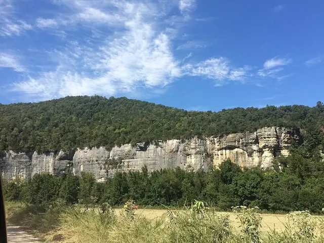
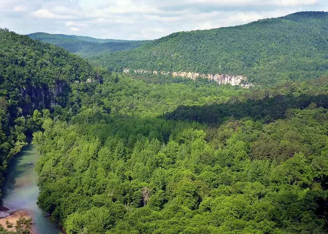
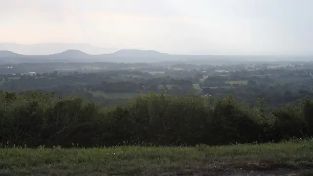
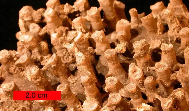
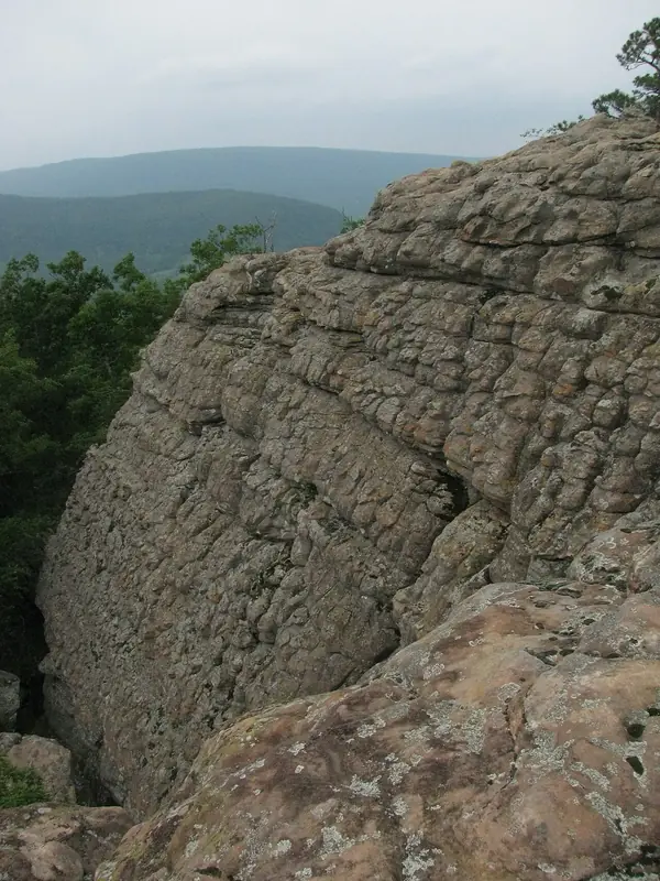
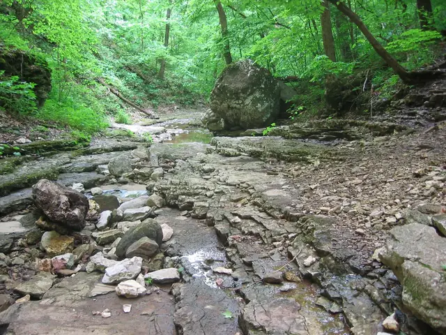
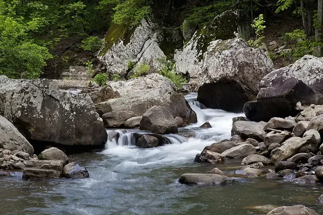
Exposed bluffs at Steel Creek on the Upper Buffalo River, Arkansas, photographed in 2016, illustrate the wider river landscape. Sogandka · CC BY-SA 4.0 · via Wikimedia CommonsThe upper Buffalo River with Big Bluff in the background, photographed in 2010, shows the wider watershed rather than the valley below the inn. NPS Photo · Public domain · via Wikimedia CommonsRidges and valleys of the Lower Boston Mountains seen from US 65 south of Marshall, Arkansas, photographed in 2019 as an example of the wider region. Brandonrush · CC0 · via Wikimedia CommonsA tabulate coral fossil from Boone Limestone near Hiwasse, Arkansas, photographed in 2008, is a regional specimen rather than a canyon find. The scale bar is 2.0 cm. Wilson44691 · Public domain · via Wikimedia CommonsA sandstone wall along Sam's Throne trail in Newton County, Arkansas, photographed in 2011, illustrates exposed rock in the surrounding region. JustTooLazy · CC BY 2.0 · via Wikimedia CommonsExposed rock, boulders and small pools in Clark Creek near Lost Valley Campground, Arkansas, photographed in 2005, illustrate karst terrain in the wider region. pfly from Pugetopolis · CC BY-SA 2.0 · via Wikimedia CommonsA regional view east from Gaither Mountain on AR 43, with the Boston Mountains plateau on the right, photographed in 2016. ThumYorky · CC BY-SA 4.0 · via Wikimedia Commons
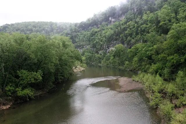
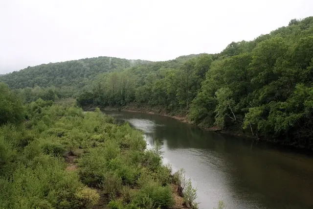
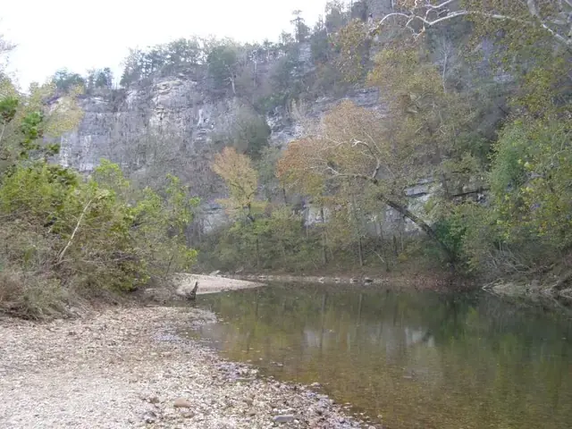
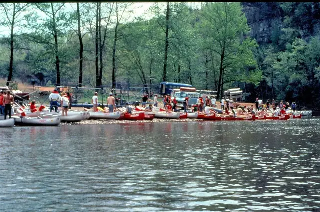
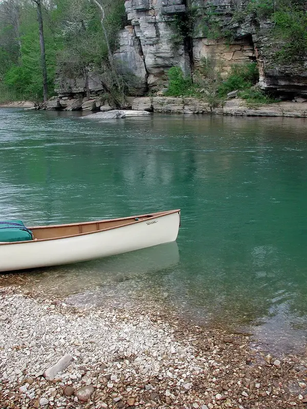
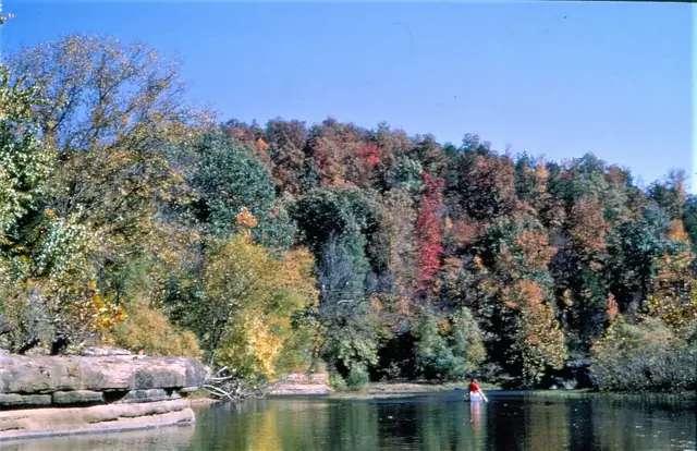
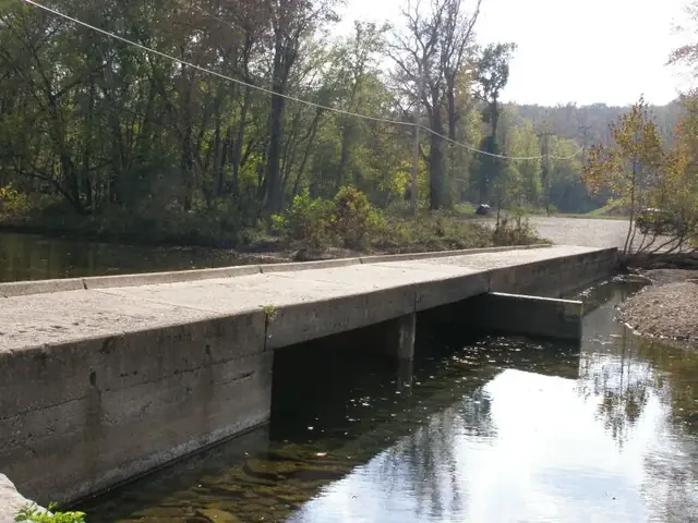
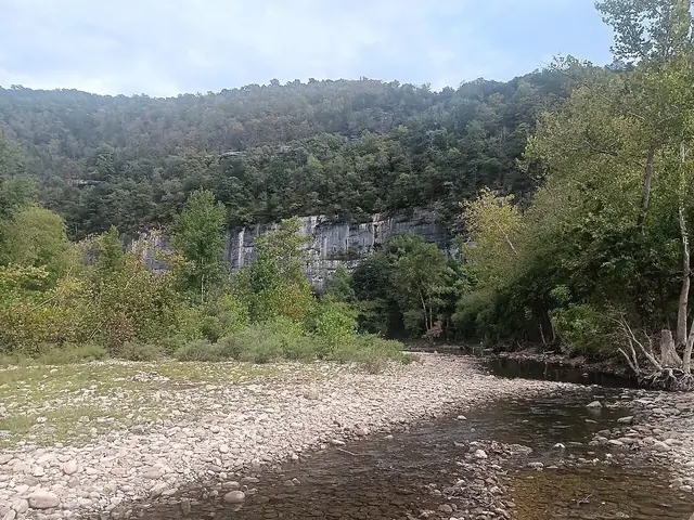
The Buffalo National River at Carver Landing, looking east from the Highway 123 bridge toward a gravel bar and wooded bluffs, photographed in 2024. Brandonrush · CC0 · via Wikimedia CommonsThe Buffalo National River curves between wooded banks at Carver Landing in this view from the Highway 123 bridge, photographed in 2024. Brandonrush · CC0 · via Wikimedia CommonsA gravel bank and wooded bluff beside the Buffalo River at Pruitt Landing, Arkansas, photographed in 2008. Chris Light ( talk ) · CC BY-SA 3.0 · via Wikimedia CommonsPeople and canoes line the riverbank at the Pruitt launch area in a photograph dated 2012. NPS photo · Public domain · via Wikimedia CommonsA canoe beside the Buffalo/Little Buffalo confluence, with a wooded rock face across the water, photographed in 2005. Greg Smith from Kettering OH, United States of America · CC BY 2.0 · via Wikimedia CommonsA canoe passes rock ledges and autumn-colored trees on the Buffalo River in a photograph dated 2012. NPS · Public domain · via Wikimedia CommonsThe Buffalo River at Ponca's low-water bridge; Congress established Buffalo National River on March 1, 1972 . Chris Light · CC BY-SA 3.0 · via Wikimedia Commons
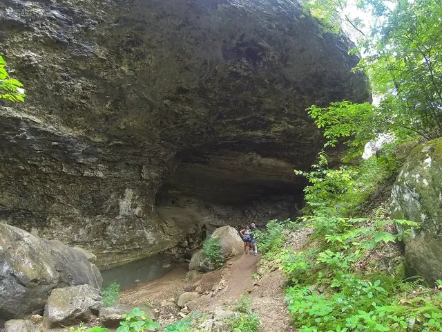
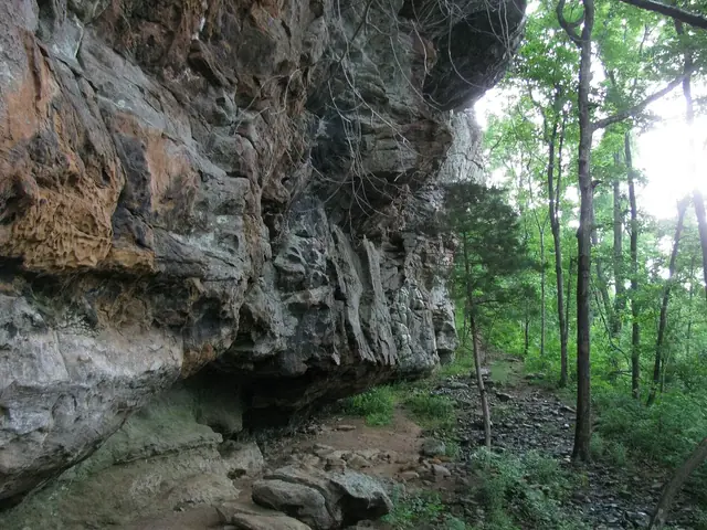
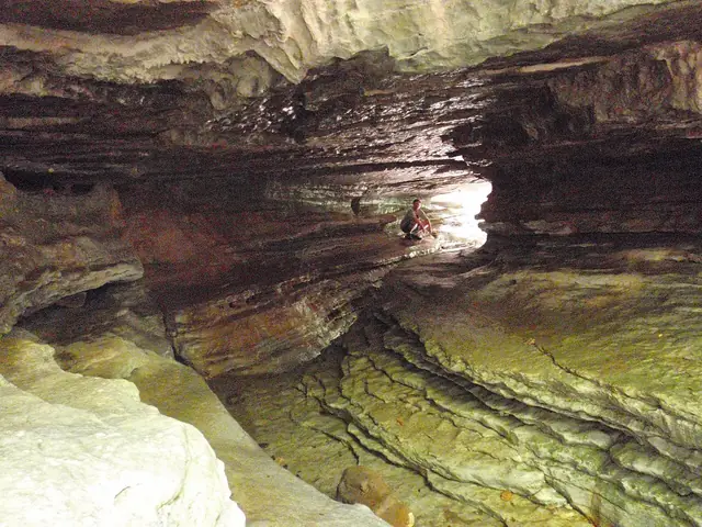
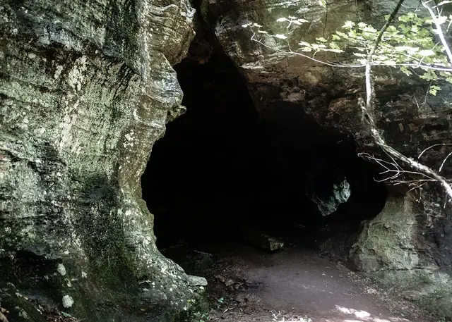
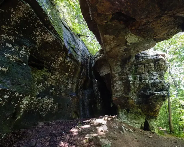
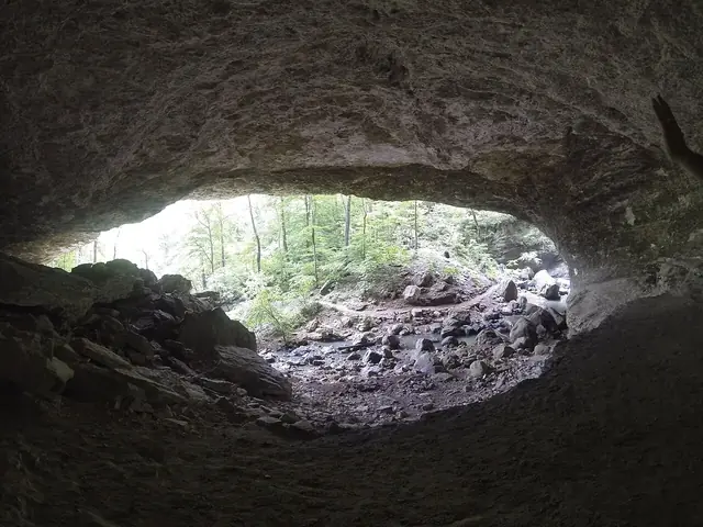
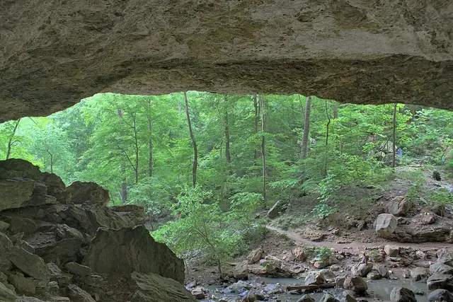
A broad rock overhang with visitors beneath it in Ponca Township, Arkansas, in a source image uploaded in 2014. Dameon Hudson · CC BY 3.0 · via Wikimedia CommonsThe recessed base of a cliff along Sam's Throne trail, photographed in 2011, illustrates a regional rock overhang. JustTooLazy · CC BY 2.0 · via Wikimedia CommonsLayered rock walls and a visitor inside Eden Cave, photographed in 2011, illustrate the region's cave scenery. Dameon Hudson · CC BY 3.0 · via Wikimedia CommonsA bluff overhang along Alum Cove Natural Bridge Trail near Deer, photographed in 2020. Sharon Mollerus · CC BY 2.0 · via Flickr
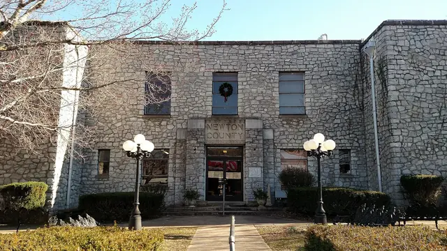
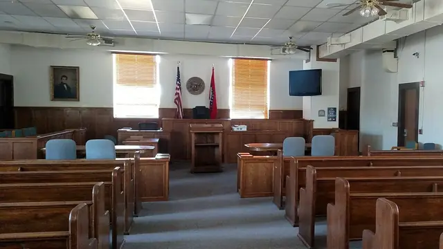
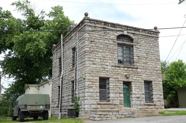
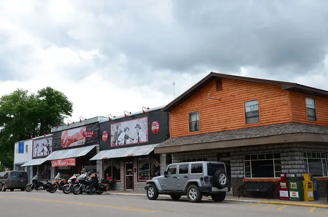
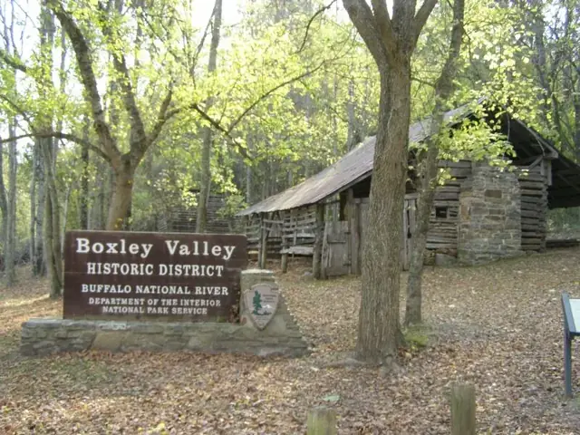
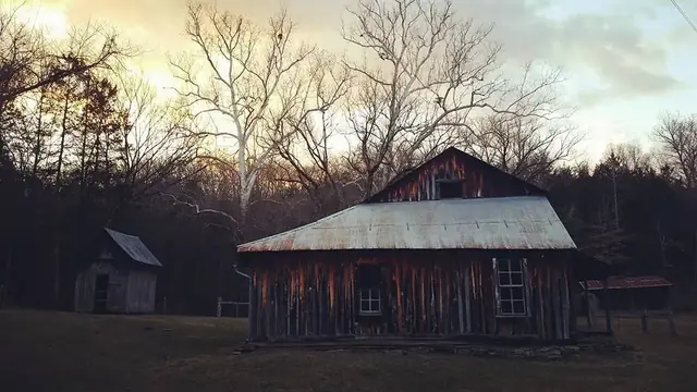
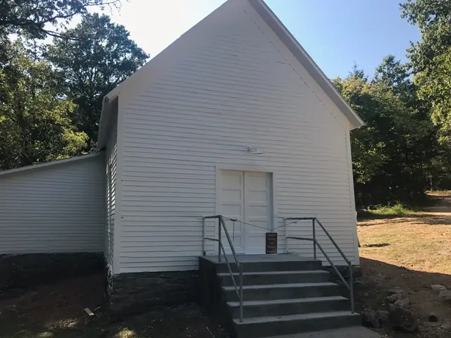
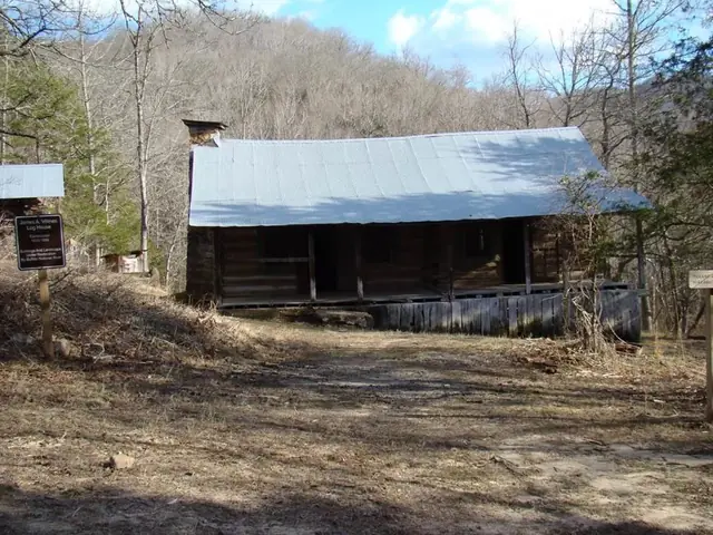
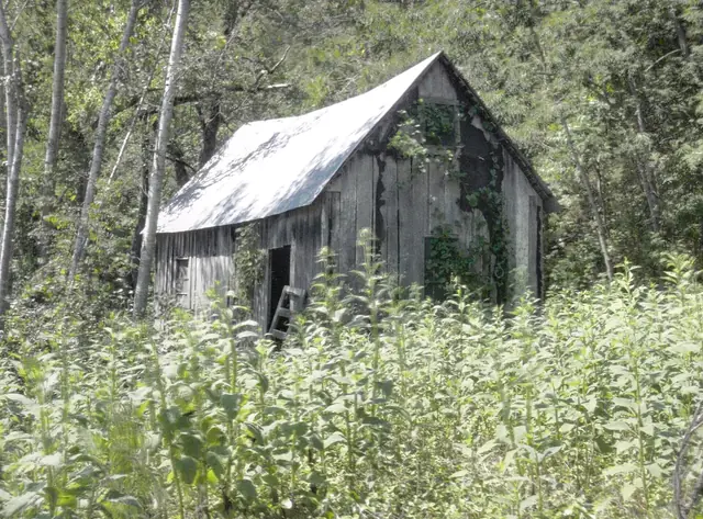
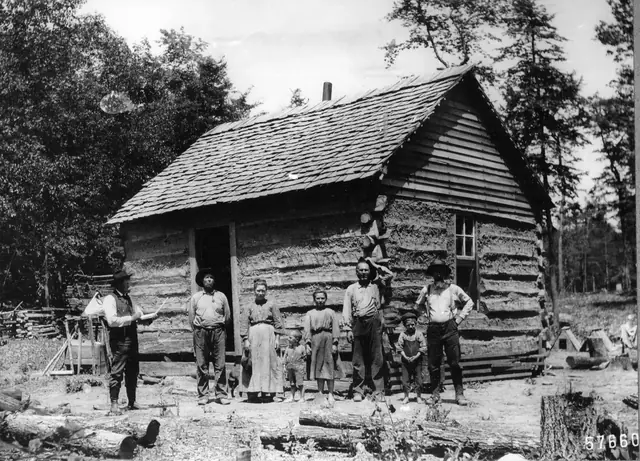
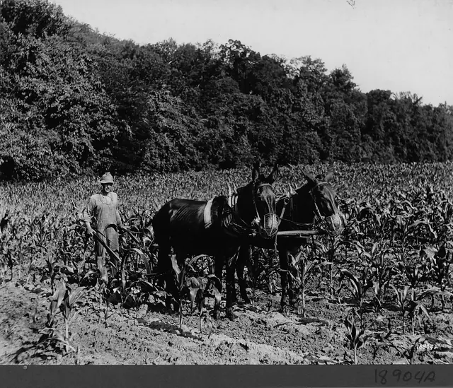
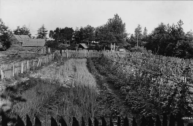
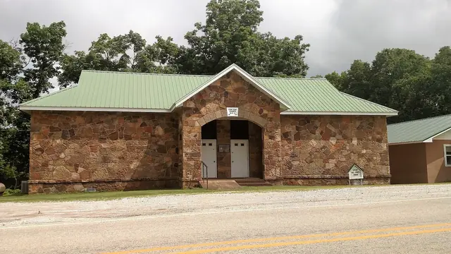
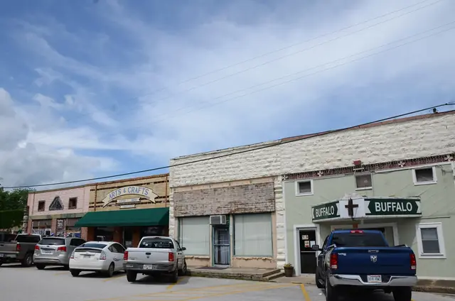
The facade of the Newton County Courthouse in Jasper, Arkansas, photographed in March 2019. Brandonrush · CC0 · via Wikimedia CommonsThe courtroom inside the Newton County Courthouse in Jasper, Arkansas, photographed in March 2019. Brandonrush · CC0 · via Wikimedia CommonsThe Newton County Jail in Jasper, Arkansas, photographed in May 2015. Valis55 · CC BY-SA 4.0 · via Wikimedia CommonsBuildings in the Jasper Commercial Historic District in Jasper, Arkansas, photographed in May 2015. Valis55 · CC BY-SA 3.0 · via Wikimedia CommonsA sign for the Boxley Valley Historic Area on the Buffalo River, Arkansas, photographed in October 2008. Chris Light ( talk ) · CC BY-SA 3.0 · via Wikimedia CommonsMeadows in the Boxley Valley Historic District, Arkansas, viewed from Highway 21 in July 2013. Brandonrush · CC BY-SA 3.0 · via Wikimedia CommonsA two-story log building and outbuildings at the Parker-Hickman Farmstead in the Erbie Historic District, shown in an image dated January 2022. NPS · Public domain · via Wikimedia CommonsThe restored front of Erbie church, photographed in October 2017. NPS Photo · Public domain · via Wikimedia CommonsA log building with a metal roof at the Beaver Jim Villines Farmstead in Ponca, shown in an image dated January 2022. NPS · Public domain · via Wikimedia CommonsAn old house near Lost Valley State Park, in an image uploaded in August 2011. Dameon Hudson · CC BY 3.0 · via Wikimedia CommonsGuard Elliott examines Allen Haley's homestead entry in July 1904; the source identifies the location as Ozark National Forest, Arkansas. Forest Service Photography · Public domain · via Wikimedia CommonsCorn cultivation on Big Piney near Treat in the Ozark National Forest, Arkansas, photographed in 1914 as an example of mountain farm life in the wider Ozarks. Forest Service Photography · Public domain · via Wikimedia CommonsBarn buildings on a mountain farm in Indian Creek Valley near Big Piney Creek, Ozark National Forest, Arkansas, photographed in 1914. Forest Service Photography · Public domain · via Wikimedia CommonsLow Gap Church, described by its source as built by the WPA in 1939, photographed in July 2015. Brandonrush · CC BY-SA 4.0 · via Wikimedia Commons
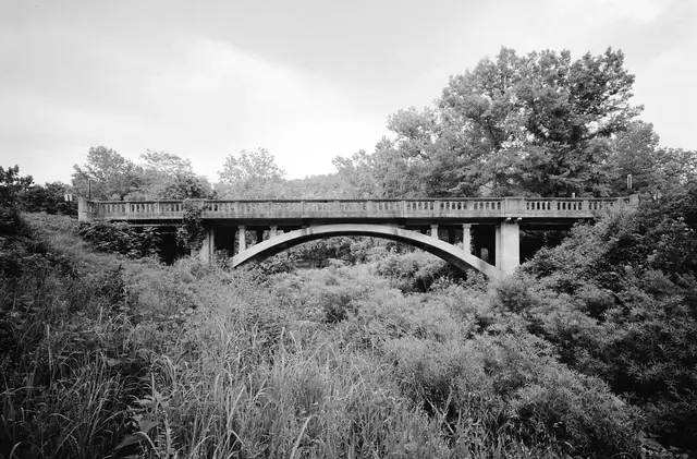
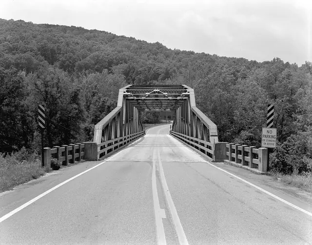
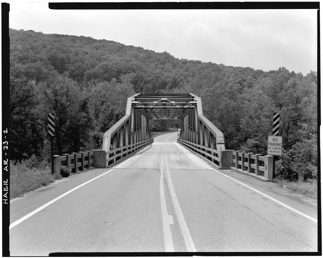
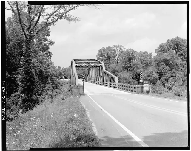
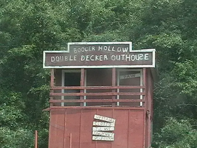
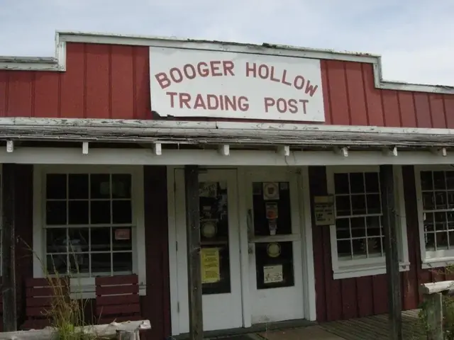
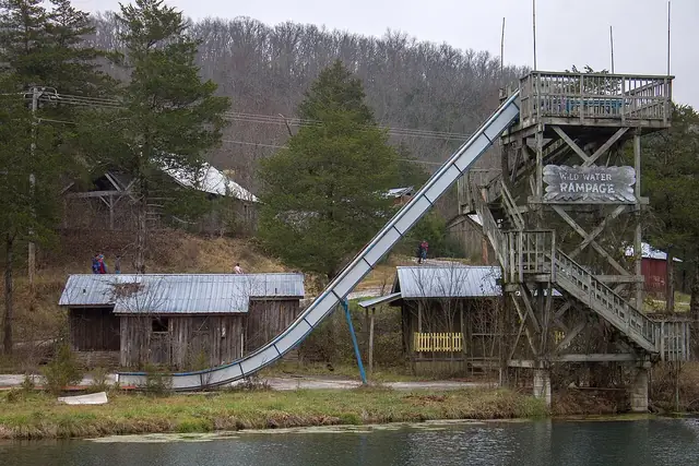
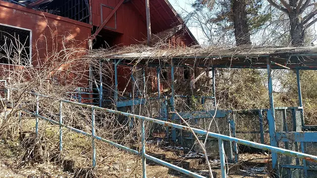
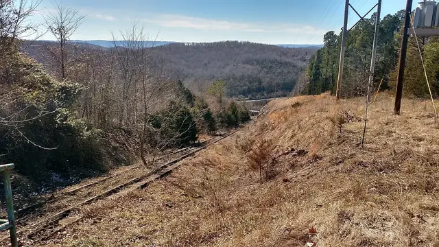
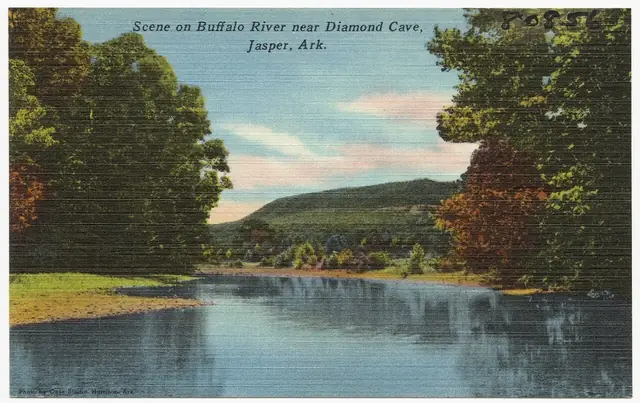
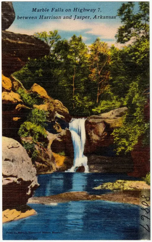
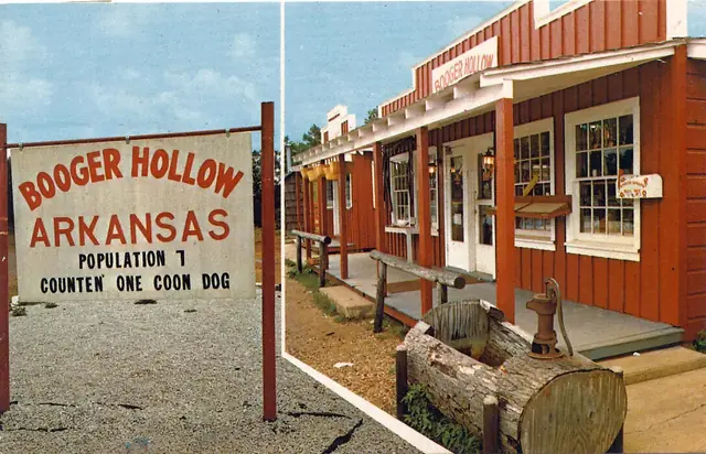
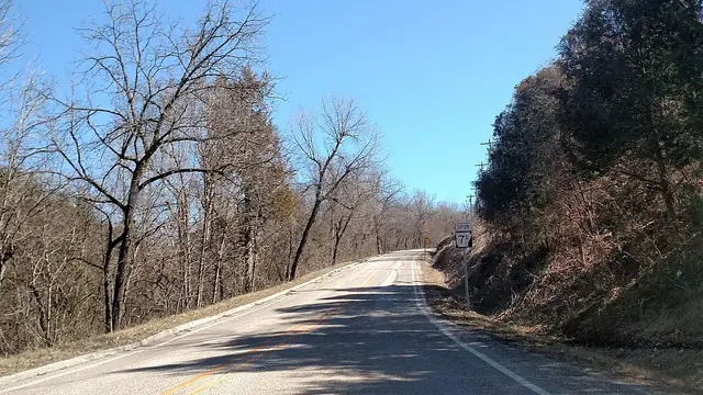
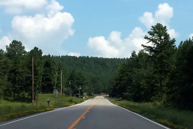
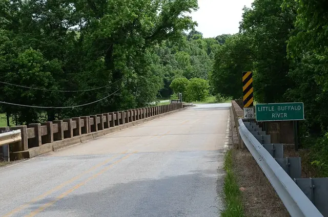
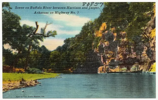
Harp Creek Bridge at State Highway 7 in Newton County, Arkansas, photographed for the Historic American Engineering Record in July 1988. Louise T. Taft, Photographer · Public domain · via Wikimedia CommonsLooking northeast along the Buffalo River Bridge, which carried Highway 7 over the Buffalo River near Pruitt, in a July 1988 Historic American Engineering Record photograph. Jeff Holder · Public domain · via Wikimedia CommonsA northeast view of the Buffalo River Bridge at Highway 7 in Pruitt, photographed for the Historic American Engineering Record in 1988. Taft, Louise T. Related names: Arkansas Highway and Transportation Department Luttjohann, · Public domain · via Wikimedia CommonsThe Pennsylvania through truss and roadbed of the Buffalo River Bridge at Pruitt, looking southwest in a 1988 Historic American Engineering Record photograph. Taft, Louise T. Related names: Arkansas Highway and Transportation Department Luttjohann, · Public domain · via Wikimedia CommonsThe two-story outhouse at Booger Hollow, photographed through a car window in August 2007. Some_Person ( talk ) ( Uploads ) · CC BY 2.5 · via Wikimedia CommonsThe Booger Hollow Trading Post, photographed through a car window in September 2006. Some_Person ( talk ) ( Uploads ) · CC BY 2.5 · via Wikimedia CommonsAn abandoned water slide at Dogpatch USA in Arkansas, photographed in December 2014. kenzie campbell from springfield, mo · CC BY 2.0 · via Wikimedia CommonsThe funicular tram at the abandoned Dogpatch USA in Marble Falls, Arkansas, photographed in March 2019. Brandonrush · CC0 · via Wikimedia CommonsThe former funicular tram track leading to the abandoned Dogpatch USA amusement park in Marble Falls, Arkansas, photographed in March 2019. Brandonrush · CC0 · via Wikimedia CommonsA Buffalo River scene near Diamond Cave in Jasper, Arkansas, in a postcard issued approximately 1930–1945. Boston Public Library · CC BY 2.0 · via Wikimedia CommonsMarble Falls on Highway 7, shown in a linen-era postcard; Dogpatch USA later operated nearby from 1968 to 1993 . Ozark Postcard Publishers (Boston Public Library collection) · Public domain · via Wikimedia CommonsBooger Hollow's roadside humor in a 1976 postcard; the trading post operated from 1961 to 2004 . Postcard scan shared by Mike Goad · Public domain · via Wikimedia CommonsThe first Highway 7S reassurance marker in Marble Falls, Arkansas, photographed in March 2019. Brandonrush · CC0 · via Wikimedia CommonsA panorama from Rotary Ann Overlook in the Ozarks, Arkansas, taken on April 23, 2022. Marcus O. Bst · CC BY-SA 2.0 · via FlickrHighway 7 looking north in the Ouachita National Forest, far south of the Arkansas Grand Canyon; the road also carries a National Forest Scenic Byway designation . Brandonrush · CC BY-SA 3.0 · via Wikimedia CommonsThe Little Buffalo River Bridge, photographed in May 2015. Valis55 · CC BY-SA 3.0 · via Wikimedia CommonsThe Buffalo River along the Highway 7 corridor, pictured in a linen-era postcard; the highway's Pruitt bridge was built in 1931 . Tichnor Brothers (Boston Public Library collection) · Public domain · via Wikimedia Commons
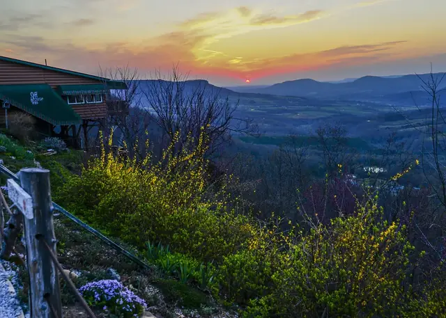
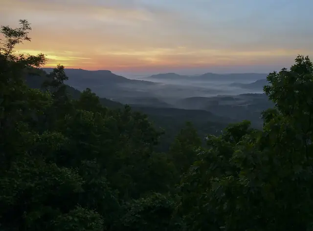
Sunrise over the Arkansas Grand Canyon near Jasper, with part of the Cliff House Inn and flowering shrubs in the foreground, photographed in 2014 from the inn area as described by the photographer. Noel Pennington · CC BY 2.0 · via FlickrSunrise over wooded ridges and valley mist in a view titled "Cliff House Sunrise, 2014," photographed in 2014. Noel Pennington · CC BY 2.0 · via Flickr
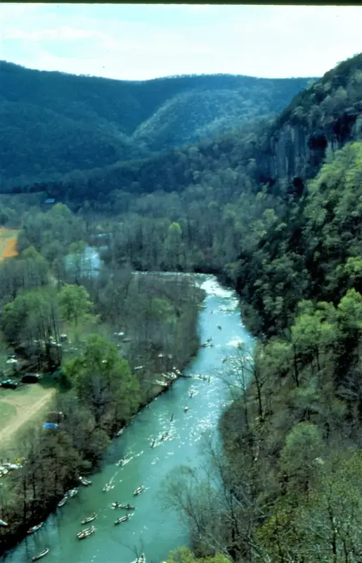
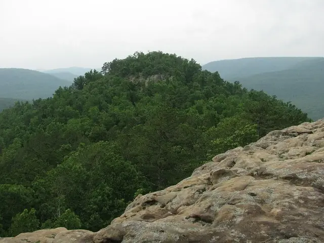
Forested ridges at Rotary Ann Overlook in Ozark National Forest, Arkansas, photographed in 2017, illustrate the wider region rather than the canyon view. ksblack99 · Public Domain Mark 1.0 · via FlickrCanoeists on the Buffalo River at the Kyles Landing launch area, in a National Park Service photo taken in 2012. NPS photo · Public domain · via Wikimedia CommonsArkansas Highway 103 winds through fields and wooded slopes in Howe Hollow, Newton County, Arkansas, photographed in 2026. Brandonrush · CC0 · via Wikimedia Commons
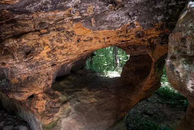
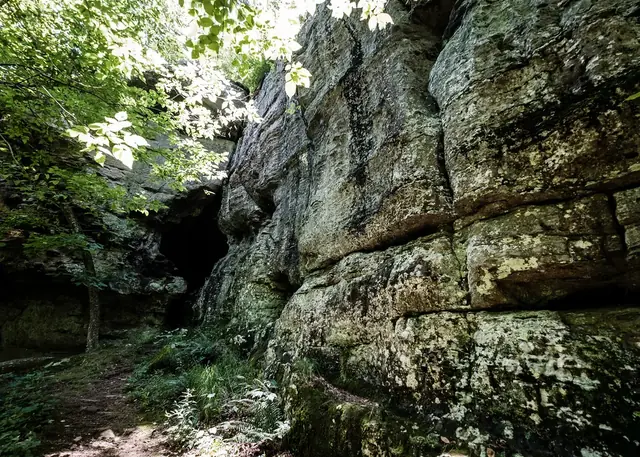
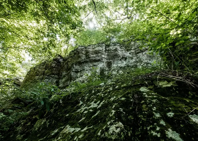
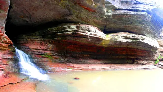
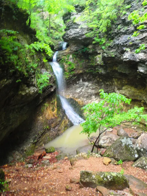
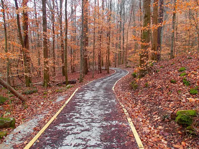
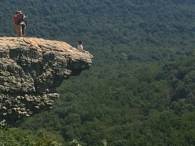
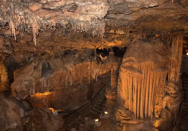
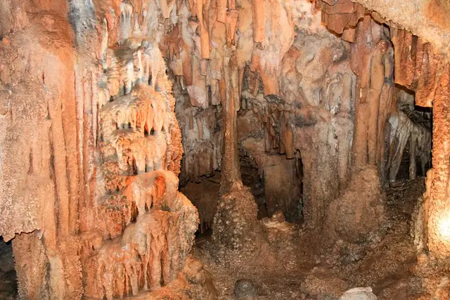
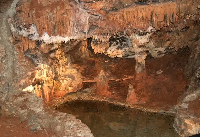
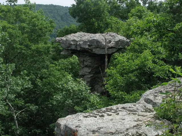
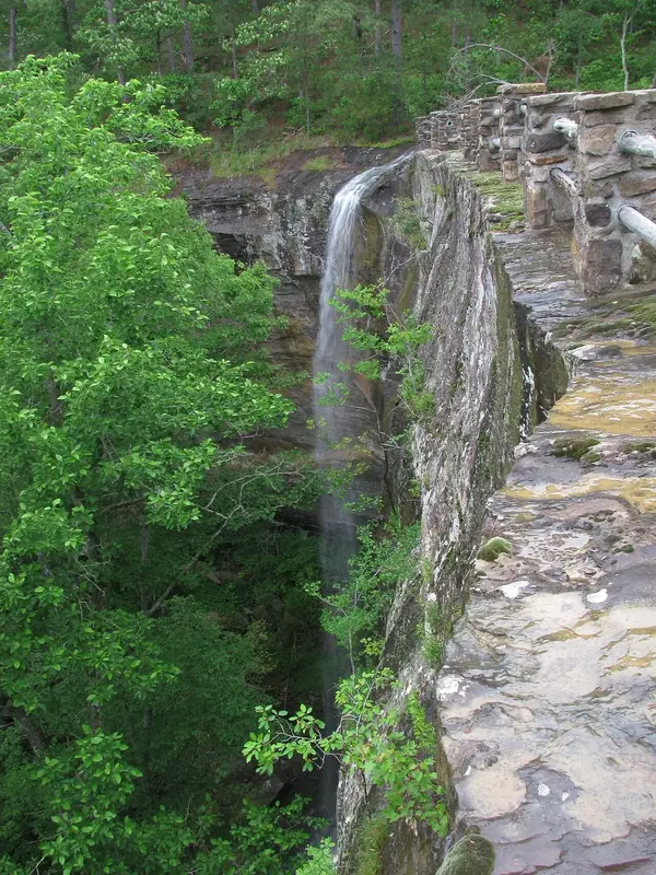
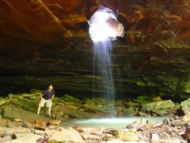
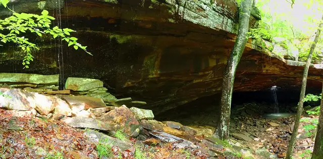
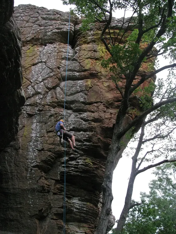
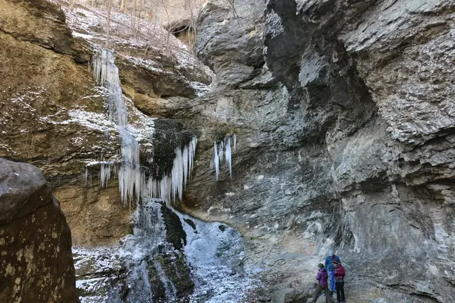
An opening in layered rock on the Alum Cove Natural Bridge Trail near Deer, photographed on July 8, 2020. Sharon Mollerus · CC BY 2.0 · via FlickrA view beneath a rock overhang on the Alum Cove Natural Bridge Trail near Deer, photographed on July 8, 2020. Sharon Mollerus · CC BY 2.0 · via FlickrSandstone bluffs among trees on the Alum Cove Natural Bridge Trail near Deer, photographed on July 8, 2020. Sharon Mollerus · CC BY 2.0 · via FlickrForest beside a rock bluff on the Alum Cove Natural Bridge Trail near Deer, photographed on July 8, 2020. Sharon Mollerus · CC BY 2.0 · via FlickrA broad rock overhang at Lost Valley in Arkansas, in a photo uploaded in 2010. Dameon Hudson · CC BY 3.0 · via Wikimedia CommonsEden Falls at Lost Valley in Arkansas, photographed in 2010. Dameon Hudson · CC BY 3.0 · via Wikimedia CommonsThe Lost Valley Trail among trees and fallen leaves, photographed in 2013. Semipaw · CC BY 3.0 · via Wikimedia CommonsA rock passage with an opening to daylight in Ponca Township, in a photo uploaded in 2014. Dameon Hudson · CC BY 3.0 · via Wikimedia CommonsA view through a rock opening in Ponca Township, in a photo uploaded in 2014. Dameon Hudson · CC BY 3.0 · via Wikimedia CommonsHawksbill Crag projects above a forested valley, photographed in 2013. miketnorton · CC BY 2.0 · via Wikimedia CommonsWhitaker Point above the forest in Ozark Forest, Arkansas, photographed in 2016. Sogandka · CC BY-SA 4.0 · via Wikimedia CommonsA rock ledge above a forested valley in Kentucky Township, Arkansas, photographed in 2014. Dameon Hudson · CC BY 3.0 · via Wikimedia CommonsRock formations inside Mystic Cavern, photographed in 2017. ksblack99 · Public Domain Mark 1.0 · via FlickrCurtain-like formations and columns inside Mystic Cavern. ksblack99 · Public Domain Mark 1.0 · via FlickrA natural cavern pool beneath rock formations in Mystic Cavern. ksblack99 · Public Domain Mark 1.0 · via FlickrRichland Creek flows between large boulders in the Richland Creek Wilderness near Ben Hur, Arkansas, photographed in 2013. latteda · CC BY 2.0 · via Wikimedia CommonsA broad cap of rock rests above a narrow pillar at Pedestal Rocks in Pope County, Arkansas, photographed in 2011 as a view of the wider region. JustTooLazy · CC BY 2.0 · via Wikimedia CommonsKing's Bluff Falls spills over a rock ledge beside a stone railing in Pope County, Arkansas, photographed in 2011 as a view of the wider region. JustTooLazy · CC BY 2.0 · via Wikimedia CommonsWater falls through an opening in the rock ceiling inside Glory Hole in Ozark National Forest, Arkansas, photographed in 2010. Dameon Hudson · CC BY 3.0 · via Wikimedia CommonsA wooded rock overhang outside Glory Hole in Ozark National Forest, Arkansas, in a photo uploaded in 2010. Dameon Hudson · CC BY 3.0 · via Wikimedia CommonsA person rappels beside a rock face near Sam's Throne trail in Newton County, Arkansas, photographed in 2011. JustTooLazy · CC BY 2.0 · via Wikimedia CommonsSam's Throne seen from the top of Chicken Head Wall, photographed in 2011. JustTooLazy · CC BY 2.0 · via Wikimedia CommonsIcicles on a rock face on the Lost Valley Trail, with two hikers for scale. National Park Service · Public domain · via Wikimedia Commons
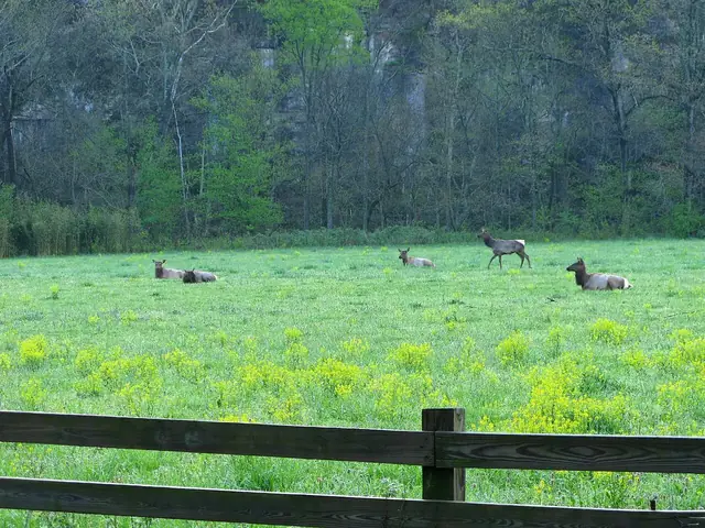
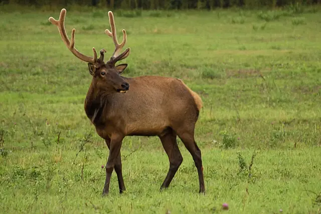
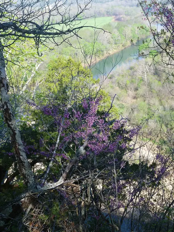
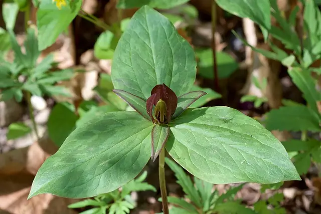
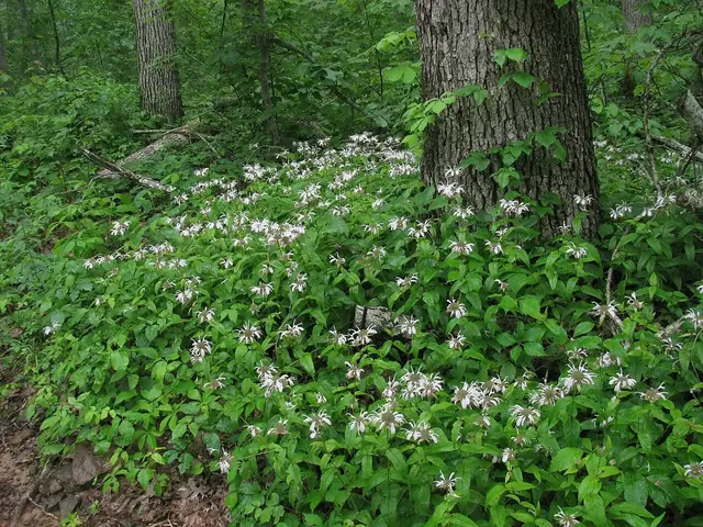
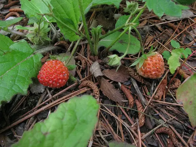
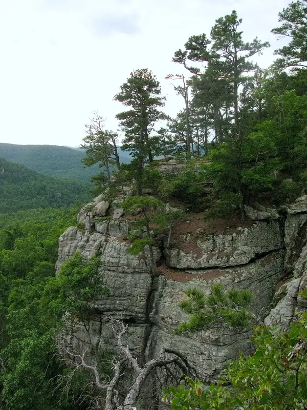
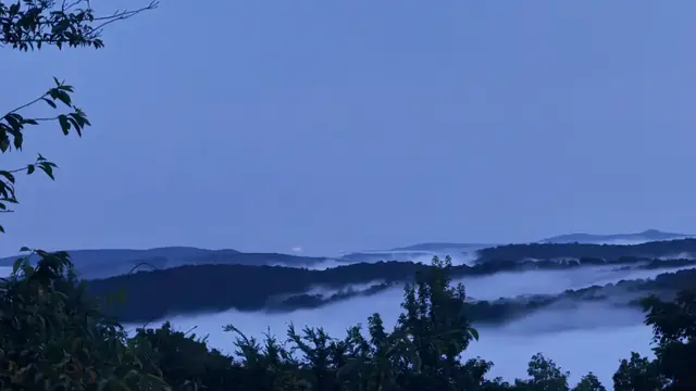
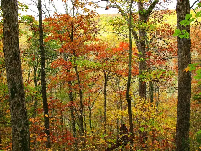
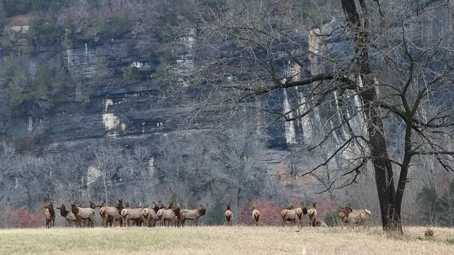
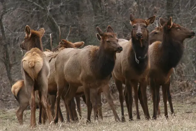
Elk rest and walk in a green field in Boxley Valley at Buffalo National River, Arkansas, photographed in April 2009. OakleyOriginals · CC BY 2.0 · via Wikimedia CommonsA bull elk stands in grass in Boxley Valley, Newton County, Arkansas, photographed in 2012. latteda · CC BY 2.0 · via Wikimedia CommonsRedbud blossoms frame a river view from a bluff in a photograph dated April 2014. NPS · Public domain · via Wikimedia CommonsToadshade trillium with a dark red flower along the Lost Valley Trail, Buffalo National River, Newton County, Arkansas, photographed in April 2015. Eric Hunt · CC BY-SA 4.0 · via Wikimedia CommonsEastern Bee Balm flowers beneath trees in the Ozark National Forest, photographed in May 2011. JustTooLazy · CC BY 2.0 · via Wikimedia CommonsWild strawberries among leaves and pine needles along Sam's Throne Trail, Newton County, Arkansas, photographed in May 2011. JustTooLazy · CC BY 2.0 · via Wikimedia CommonsShortleaf pines grow above a rocky bluff at Sam's Throne in the Ozarks, Arkansas, photographed in 2011. JustTooLazy · CC BY 2.0 · via Wikimedia CommonsValley fog fills Ozark hollows below wooded ridges at dawn, photographed at Bearly Earth Retreat near Jasper. Bearly Earth Retreat · Used with permission of the owner · via bearlyearth.comOrange, yellow and green foliage in the Ozark woodlands along the Ozark Highlands Trail, photographed in October 2009. OakleyOriginals · CC BY 2.0 · via Wikimedia CommonsAn elk herd stands in a field below wooded bluffs at Steel Creek in a winter scene from a photograph dated 2015. NPS · Public domain · via Wikimedia CommonsElk in Boxley Valley, the region's best elk-viewing area rather than the Arkansas Grand Canyon overlook . National Park Service · Public domain · via Wikimedia Commons
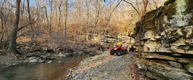
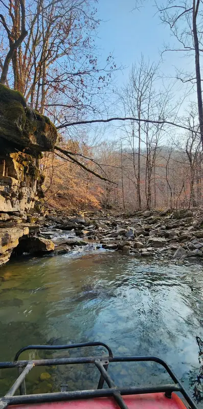
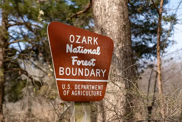
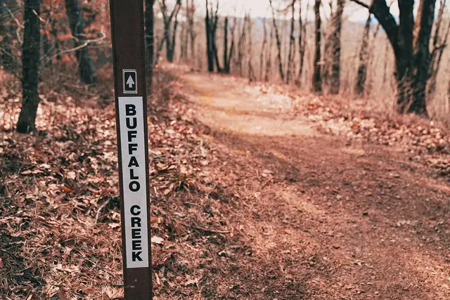
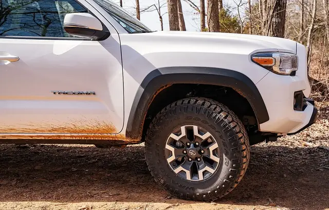
A red ATV parked on a gravel creek bar beneath layered sandstone bluffs on the Bearly Earth property. Bearly Earth Retreat · Used with permission of the owner · via bearlyearth.comA view from an ATV crossing a clear Ozark creek beside a sandstone bluff. Bearly Earth Retreat · Used with permission of the owner · via bearlyearth.comAn Ozark National Forest boundary sign near the Hawksbill Crag Trailhead in Kingston, Arkansas, photographed in 2019. Tony Webster · CC BY 2.0 · via Wikimedia CommonsBuffalo Creek Trail winds through leaf-covered woods in the Upper Buffalo Mountain Biking Trail System, Ozark National Forest, photographed in 2019. Tony Webster from Minneapolis, Minnesota, United States · CC BY 2.0 · via Wikimedia CommonsA mud-spattered Toyota Tacoma at the Whitaker Point (Hawk's Bill Crag) trailhead in the Ozark National Forest, photographed in 2019. Tony Webster from Minneapolis, Minnesota, United States · CC BY 2.0 · via Wikimedia Commons
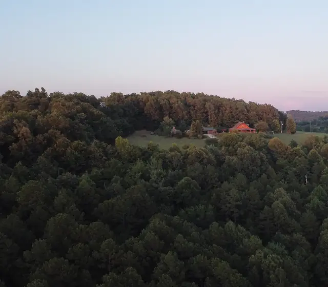
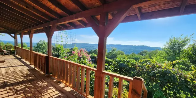
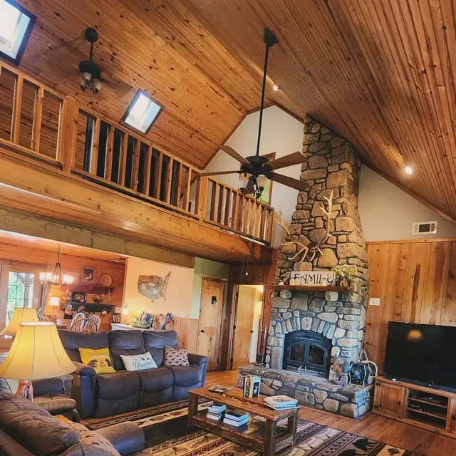
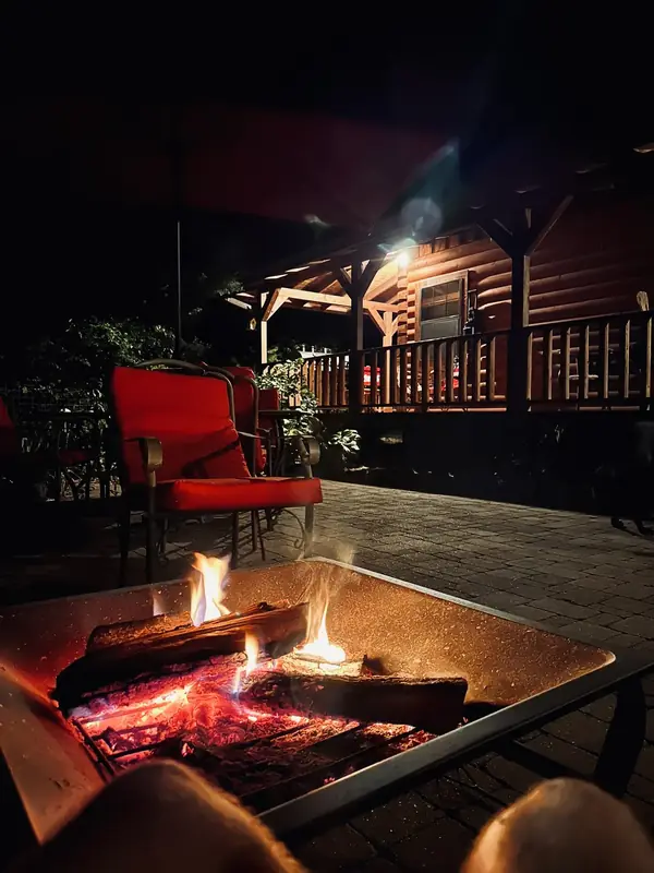
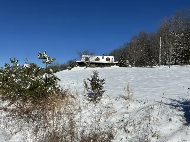
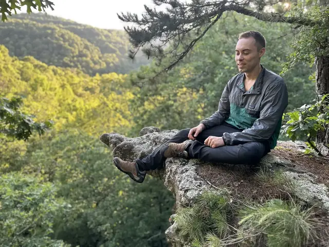
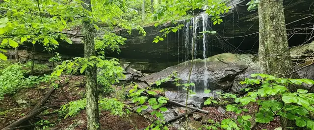
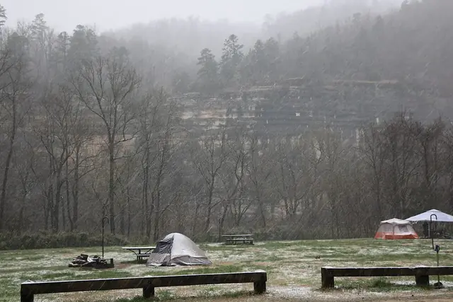
An aerial view at sunset of the Bearly Earth Retreat log cabin in a forest clearing near Jasper, Arkansas. Bearly Earth Retreat · Used with permission of the owner · via bearlyearth.comThe wrap-around porch at Bearly Earth Retreat overlooks forested Ozark ridges beside blooming crepe myrtle in summer. Bearly Earth Retreat · Used with permission of the owner · via bearlyearth.comThe vaulted great room at Bearly Earth Retreat has a loft balcony and a floor-to-ceiling stone fireplace. Bearly Earth Retreat · Used with permission of the owner · via bearlyearth.comA fire pit burns at night beside red chairs and the lit cabin porch at Bearly Earth Retreat. Bearly Earth Retreat · Used with permission of the owner · via bearlyearth.comThe Bearly Earth Retreat log cabin stands on a snow-covered hill under a blue winter sky. Bearly Earth Retreat · Used with permission of the owner · via bearlyearth.comA guest sits cross-legged on a sandstone bluff ledge above a green Ozark valley at Bearly Earth Retreat. Bearly Earth Retreat · Used with permission of the owner · via bearlyearth.comA seasonal waterfall spills over a mossy sandstone bluff on the Bearly Earth Retreat property. Bearly Earth Retreat · Used with permission of the owner · via bearlyearth.comA southward view along the low Buffalo National River at Steel Creek Campground, photographed in 2026. Brandonrush · CC0 · via Wikimedia CommonsTents in a snowstorm at Steel Creek Campground, in a photograph dated 2013. NPS · Public domain · via Wikimedia Commons
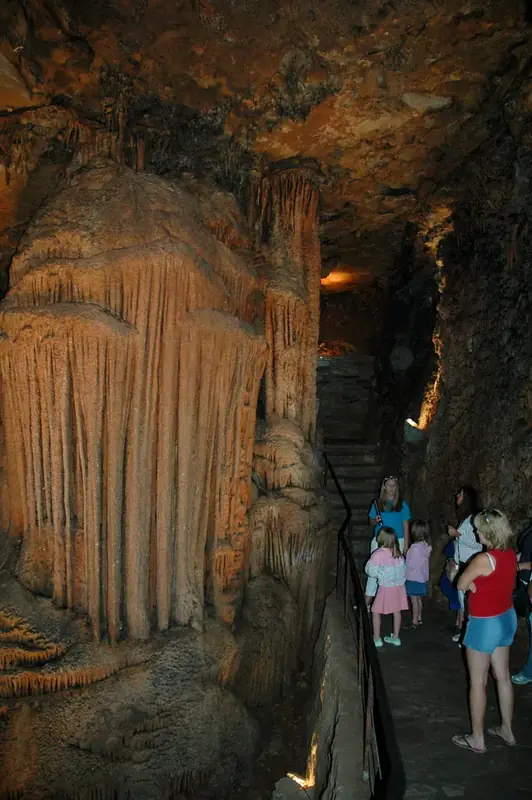
A tour group beside The Pipe Organ formation at Mystic Caverns, photographed in 2006. Clinton Steeds · CC BY 2.0 · via Flickr
More from the region
Places around the Buffalo River and the Ozark National Forest that are not yet covered in a chapter. Have more history about them? Get in touch through the link below.
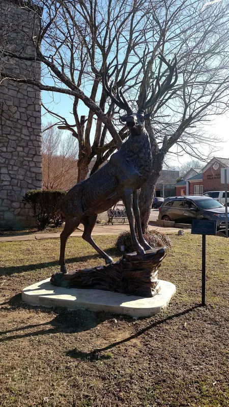
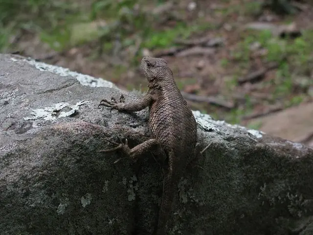
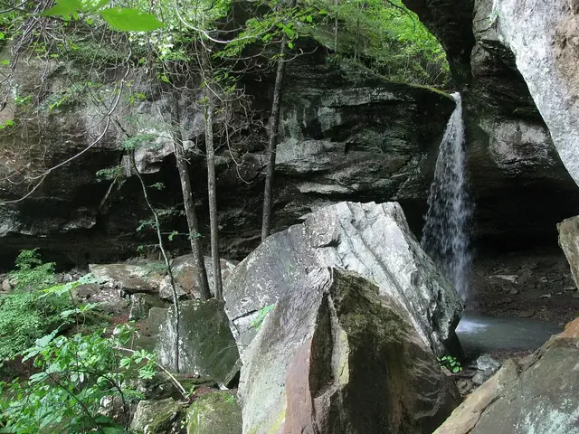
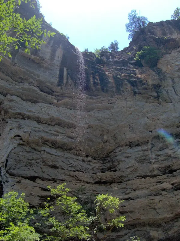
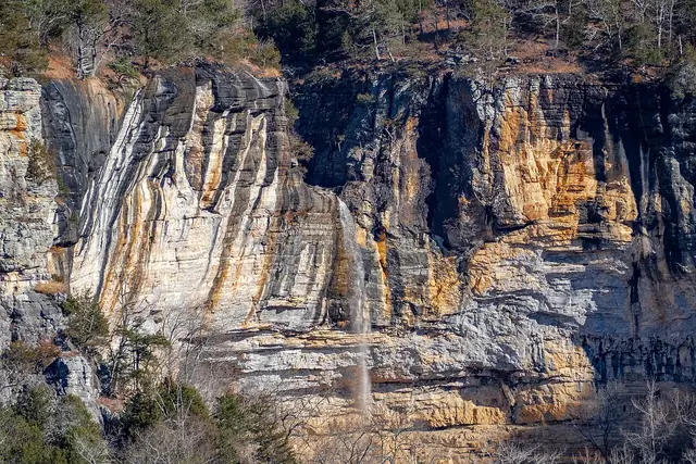
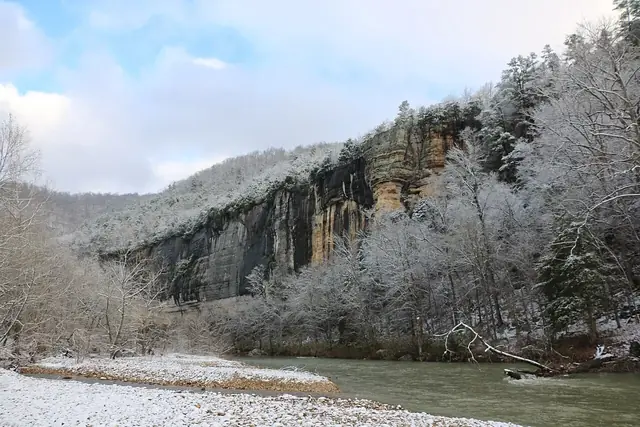
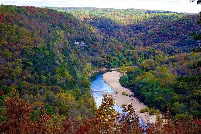
An elk statue on the grounds of the Newton County Courthouse in Jasper, photographed in 2019. Brandonrush · CC0 · via Wikimedia CommonsA prairie lizard along the Sam's Throne trail in Newton County, photographed in 2011. JustTooLazy · CC BY 2.0 · via Wikimedia CommonsThe waterfall at Pam's Grotto in the Ozark National Forest, photographed in 2011. JustTooLazy · CC BY 2.0 · via Wikimedia CommonsHemmed-In Hollow Falls on the Buffalo River, photographed in 2006. Fleshwater at en.wikipedia · Public domain · via Wikimedia CommonsThe Hemmed-In Hollow waterfall on the Buffalo River, photographed in 2018. Kevin Elsken · CC BY-SA 4.0 · via Wikimedia CommonsSnow on Roark Bluff above the Buffalo River in winter, in a National Park Service photo. NPS · Public domain · via Wikimedia CommonsAutumn color beginning in the valleys of the Buffalo River, photographed in October 2011 on the river's lower stretch. Doug Wertman · CC BY 2.0 · via Wikimedia Commons
Help fill in the record
Have photos or history to share?
If you have photos, old postcards, family stories or other interesting history about the Arkansas Grand Canyon, please contact me on Instagram at @rockx.Austin. Contributions that can be verified will be added to the encyclopedia with credit.