
The Arkansas Grand Canyon looks across a forested Boston Mountains valley where oak and hickory dominate the surrounding woods, and morning fog can settle below the rim 2,3,4,5,6,7. The wider region supports black bears, elk, many birds and several protected bat species, but their presence does not promise a sighting from the Highway 7 overlook 1,8,9,10,11,12. Seasons bring spring blooms, hot summers, late-October fall color and the possibility of winter snow or ice 4,13,14,15,16,17.
What trees grow around the canyon?
The surrounding forests are mainly oak and hickory, including black oak, white oak and mockernut hickory 3,4. Drier ridges and slopes support shortleaf pine and oak 18. Along streams, common trees include sycamore, river birch, silver maple and willow 3,4.
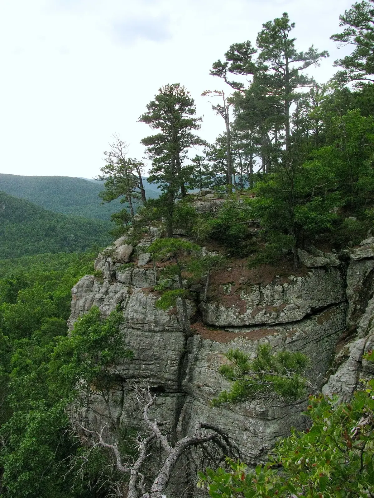

These tree communities occupy a landscape carved from layered sandstone, shale and limestone, with cliffs, benches and deep hollows created as streams wore down the rock 2,19. Fire historically helped determine which trees regenerated in the forests 3,18. The woods are therefore part of a changing landscape, not simply a uniform green cover over the valley 3,18.
For a closer look at regional trees, the Forest Service's Koen Interpretive Trail is a 0.27-mile tree-identification trail with an accessible design 20. The things-to-do guide places that walk among other nearby outings.
Black bears and the return of elk
Black bears had nearly disappeared from Arkansas before the state restored them 21,22. Between 1958 and 1968, Arkansas brought in 254 bears from northern Minnesota and Manitoba, and the population recovered 21,22. Bears live in the region, but there are no data showing how often they are seen from the Arkansas Grand Canyon overlook 8.
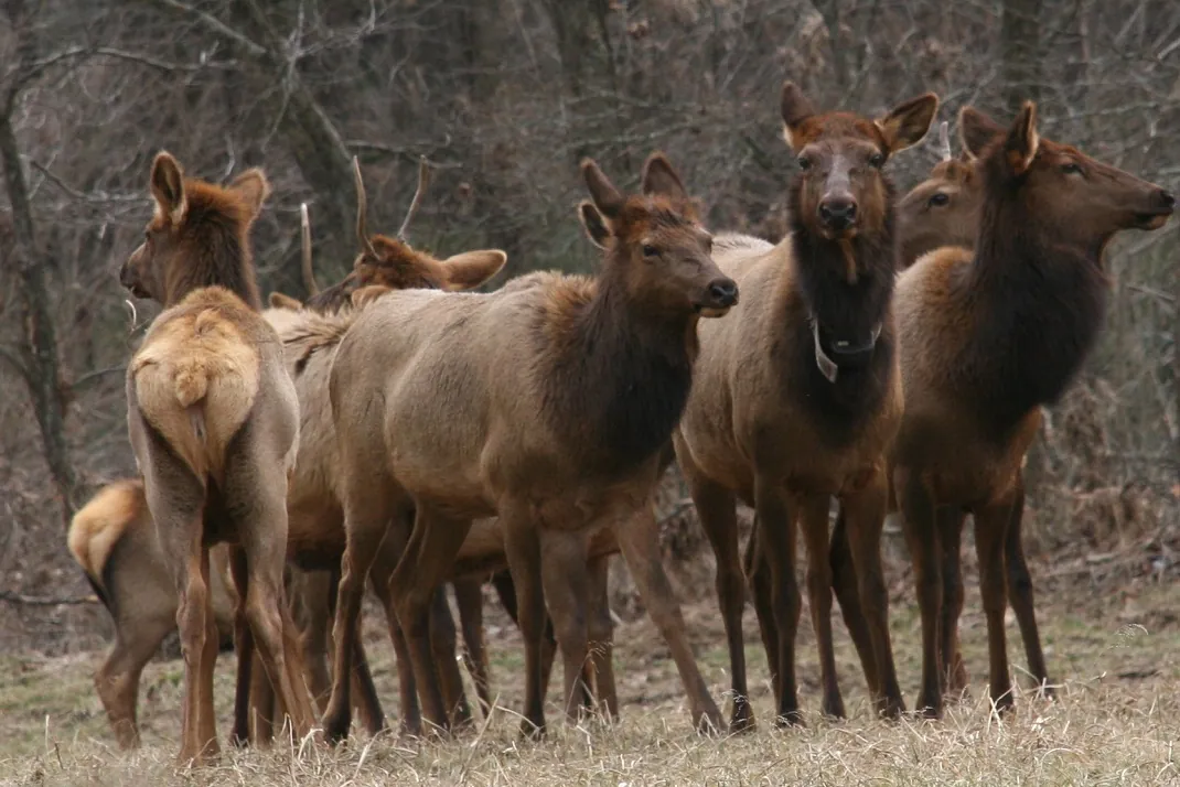
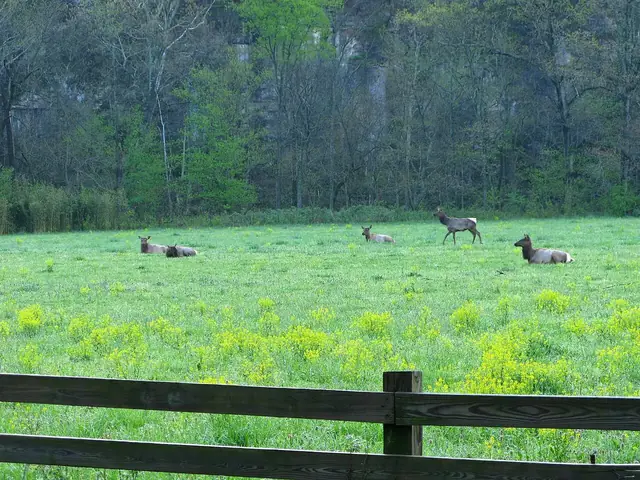
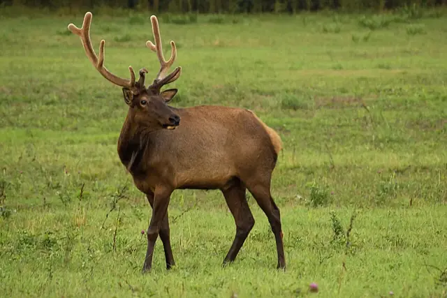
The Arkansas Game and Fish Commission released 112 Rocky Mountain elk from Colorado and Nebraska in Newton County between 1981 and 1985 9. The releases occurred over several years, not all in 1981 9. Their history is part of the area's modern timeline 9.
The best elk viewing is in Boxley Valley along about six miles of Highways 43 and 21, rather than at the canyon overlook 1. Early morning and evening, fall and cold winter spells offer the best viewing times 1. Park only in designated areas in Boxley Valley and stay 150 feet from elk 23,24.


Birds, mammals and protected bats
Deer, bobcats, coyotes, river otters and squirrels also live in the region 8. About 200 bird species use Buffalo National River at some point during the year 10. Eagles are present year-round but are seen most often in winter 10. Those bird records describe the national river, not a count of species observed from one canyon viewpoint 10.
Acoustic surveys on Big Creek in August 2015 and on the Left Fork that September recorded calls of Indiana bats, gray bats and northern long-eared bats 11,12. These are documented survey results from the canyon's drainage, rather than a general claim based only on the presence of caves 11,12. The northern long-eared bat is federally endangered 26.
Most caves within Buffalo National River are closed to protect bats, although there are some exceptions 27. Consult the National Park Service's cave and karst guidance before planning cave exploration 27.
Caves, rock shelters and hidden groundwater
Boone limestone in the valley floor produces karst, where water travels through cracks and channels, often hidden beneath soil 28,29. Big Creek research calls this “mantled karst” 29. A USGS study in October 2020 documented creek reaches that lose water underground and others that gain it back 30.
Karst is important to the Big Creek watershed, but it is not evidence that the Arkansas Grand Canyon formed through the collapse of a giant cave 2,19,28,29. The valley was carved by streams, while many regional rock shelters formed mainly through weathering and undercutting of cliffs rather than collapsed caverns 2,19. The geology page explains the distinction between the broad valley, rock shelters and underground water passages 2,19,28,29.
Why does fog fill the valley?
Morning fog in the Arkansas Grand Canyon is documented in a 2021 photograph by Steve Carlton 5. Cool air can drain into valleys overnight, creating a temperature inversion that traps fog below the rim 6,7. This explains how the valley can fill with fog while the view from above has a different appearance 6,7.
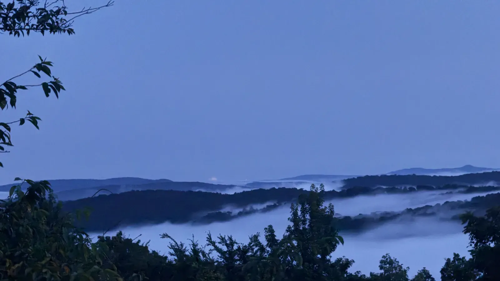
The frequency of that effect at the Arkansas Grand Canyon has not been measured 5,6,7. A photograph demonstrates that valley fog occurs, but it does not establish a daily schedule, a guaranteed season or a reliable probability for a particular visit 5,6,7. Treat fog as a possible feature of the morning view, not a promised attraction 5,6,7.
Where are the designated dark skies?
Buffalo National River became an International Dark Sky Park in 2019 31. The designation applies to the park, not to the Arkansas Grand Canyon's Highway 7 overlook 31. A canyon visit and a national-river night-sky outing are related regional activities, but the overlook should not be described as a certified Dark Sky Park 31.
The National Park Service's night-sky viewing information is the appropriate starting point for exploring the protected river's dark-sky designation 31.
Climate and winter roads
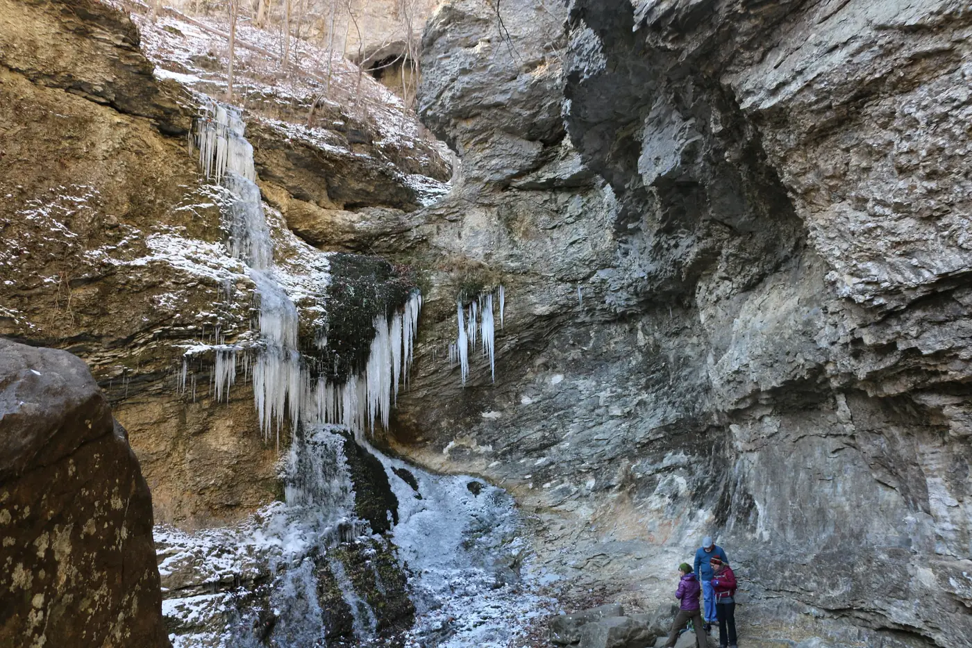
The region has hot summers and relatively short, mild winters, but snow, ice and severe cold do occur 15,16,17. The January 2009 ice storm is a documented example of serious winter weather 17. A mild general climate does not mean Highway 7 will be free of winter hazards on a particular day 15,16,17,32.
The nearest long-term weather station, at Harrison's airport, averages 44.50 inches of precipitation per year in the 1991 to 2020 normals 33. That is a station average, not a measurement made at the canyon rim or a forecast for a trip 33. Upper Buffalo floating depends on rainfall, so a calendar alone cannot establish river conditions 34.
Check IDrive Arkansas's winter road conditions before traveling 32. Ticks and chiggers can be active much of the year, and visitors should not approach or feed wildlife 25. More route context appears in the Scenic Highway 7 history and visiting guide.

A season-by-season guide
Spring: flowering trees and rainfall-dependent paddling
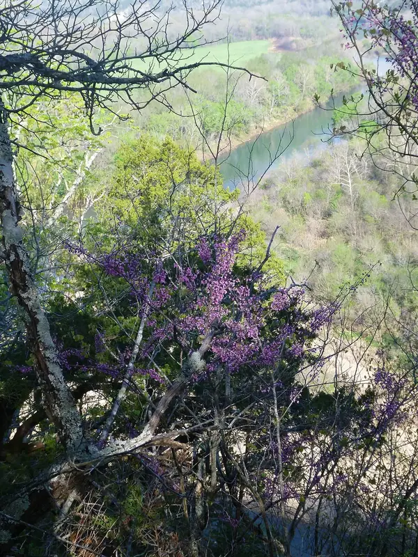
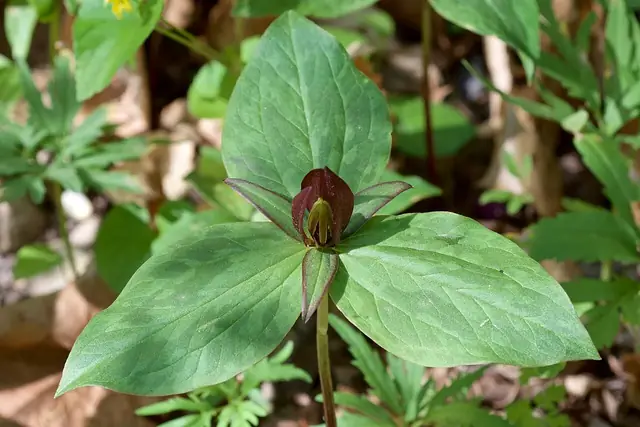
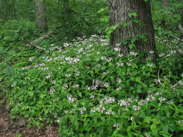
Redbud, dogwood and serviceberry bloom in spring 4. University of Arkansas Extension expects Ozark redbuds to reach full bloom around mid-April, about a week before dogwoods 13. These are regional expectations rather than guaranteed bloom dates at a particular canyon viewpoint 13. Upper-river floating remains dependent on rainfall 34.




Summer: hot weather and the forested view
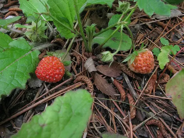
Summer is hot in the region 15,16. The surrounding oak-hickory forests, drier pine-oak slopes and streamside trees provide the landscape's main vegetation communities 3,4,18. Wildlife precautions remain important, and ticks and chiggers can be active 25. Do not assume summer alone guarantees enough water for an upper Buffalo float 34.
Fall: color and elk viewing
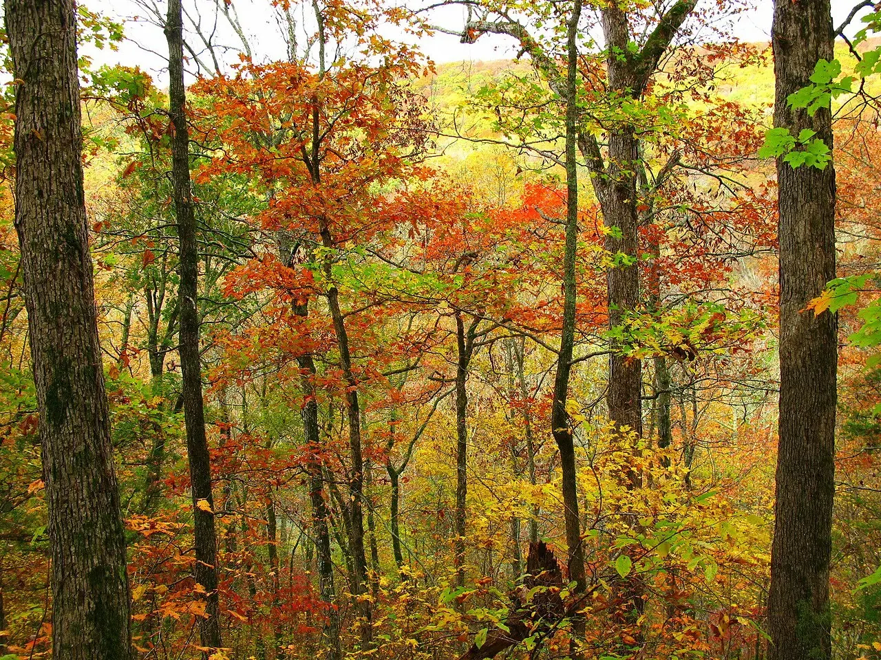
Ozark fall color usually peaks in late October, with timing influenced by elevation, temperature and rainfall 14. Fall is also among the best times to look for elk in Boxley Valley, especially early or late in the day 1. These are two different viewing experiences: foliage around the Arkansas Grand Canyon and elk in a separate valley 1,3,4,14.

Winter: eagles, elk and possible ice
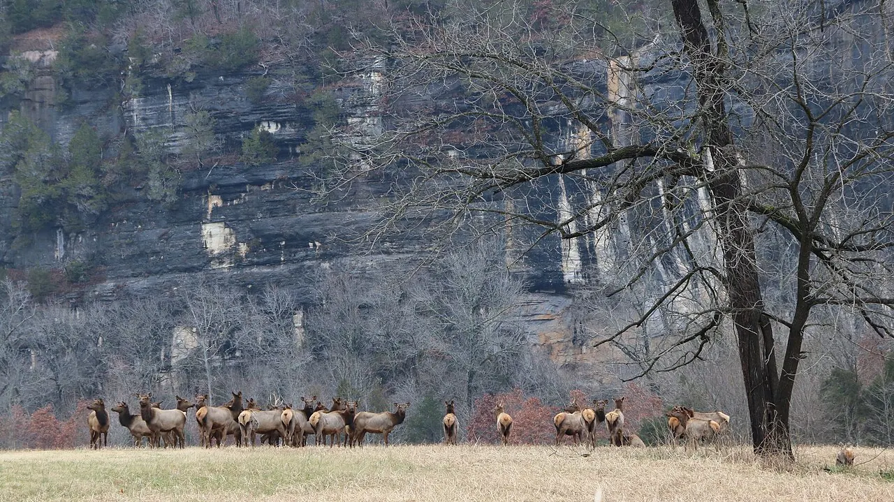
Eagles are seen most often in winter within Buffalo National River, and cold winter spells are favorable for elk viewing in Boxley Valley 1,10. Winter can also bring snow, ice and severe cold 15,16,17. Check Highway 7 conditions before setting out rather than relying on the region's usually mild winter reputation 15,16,17,32.

Related reading
- Geology: cliffs, layers and karst.
- Big Creek and the Buffalo River: water and conservation.
- Scenic Highway 7: the canyon approach.
- Things to do: nearby walks and outings.
- Plan a visit: practical trip planning.
Sources for this page
Numbers in the text match this list. Bracketed numbers link to the complete source list. Accessed on or before November 3, 2026.
- NPS: Elk www.nps.gov/buff/learn/nature/elk.htm [124]
- Encyclopedia of Arkansas, "Boston Mountains" (Margaret J. Guccione) encyclopediaofarkansas.net/entries/boston-mountains-2389/ [13]
- NPS: Forests www.nps.gov/buff/learn/nature/forests.htm [115]
- NPS: Trees and Shrubs www.nps.gov/buff/learn/nature/treesandshrubs.htm [116]
- Only in Arkansas: Photo of the Week, Fog Over Arkansas Grand Canyon onlyinark.com/photos/fog-arkansas-grand-canyon/ [130]
- National Weather Service: Mountain and valley fog www.weather.gov/safety/fog-mountain-valley [131]
- NOAA NWS: What is a temperature inversion? www.weather.gov/lmk/inversion [132]
- NPS: Mammals www.nps.gov/buff/learn/nature/mammals.htm [122]
- AGFC: History of Elk in Arkansas www.agfc.com/education/history-of-elk-in-arkansas/ [123]
- NPS: Birds www.nps.gov/buff/learn/nature/birds.htm [125]
- Gore: Survey of Threatened and Endangered Bat Species on Big Creek buffaloriveralliance.org/wp-content/uploads/2026/01/Ex-3-Gore-FINAL-trun… [126]
- Gore: Survey of Threatened and Endangered Bat Species on Left Fork of Big Creek buffaloriveralliance.org/wp-content/uploads/2026/01/Bat-Survey-Left-Fork… [127]
- University of Arkansas Extension: Plant of the Week, Redbud www.uaex.uada.edu/yard-garden/resource-library/plant-week/redbud.aspx [118]
- Arkansas Tourism: Fall Foliage Drives and Destinations Across Arkansas www.arkansas.com/plan-your-trip/plan/trip-ideas-itineraries/fall-foliage… [119]
- NPS: Climate and Geology www.nps.gov/buff/learn/nature/climate-and-geology.htm [134]
- NOAA NWS Little Rock: Climate Data www.weather.gov/lzk/wxcntl3.htm [135]
- NOAA NWS: Ice Storm on January 26–28, 2009 www.weather.gov/lzk/win0109ayr.htm [136]
- Ozark-Ouachita Shortleaf Pine-Oak Forest and Woodland research.fs.usda.gov/sites/default/files/feis/bps/13670_32_44.pdf [117]
- Arkansas Archeological Survey: Geology of Ozark bluff shelters archeology.uark.edu/ozarkbluffshelters/basics/geology/ [16]
- Forest Service accessible trails including Koen www.fs.usda.gov/managing-land/national-forests-grasslands/accessibility/… [193]
- Clark and Smith: A demographic comparison of two black bear populations in the Interior Highlands of Arkansas pubs.usgs.gov/publication/70170453 [120]
- AGFC: Bear www.agfc.com/hunting/more-game/bear/ [121]
- Boxley Valley Cultural Landscape www.nps.gov/articles/000/boxley-valley-500898.htm [209]
- NPS archived elk-viewing safety guidance www.nps.gov/buff/learn/news/safety-tips-for-elk-viewing-in-boxley-valley… [210]
- NPS: Safety www.nps.gov/buff/planyourvisit/safety.htm [139]
- USFWS: Northern Long-eared Bat www.fws.gov/species/northern-long-eared-bat-myotis-septentrionalis [128]
- NPS: Cave and Karst Systems, updated January 2026 www.nps.gov/buff/learn/nature/cave.htm [129]
- Arkansas Geological Survey: Mount Judea geological map, revised 2015 geology.arkansas.gov/docs/pdf/maps-and-data/geologic_maps/24k/Mount%20Ju… [15]
- Murdoch, Bitting, and Van Brahana: Boone karst hydrogeology in Big Creek Valley, 2016 link.springer.com/article/10.1007/s12665-016-5981-y [30]
- USGS: Big Creek seepage and dye-tracing data release www.usgs.gov/data/seepage-investigation-and-dye-tracing-characterize-bas… [11]
- NPS: Night Sky Viewing www.nps.gov/buff/planyourvisit/night-sky-viewing.htm [133]
- ARDOT IDrive Arkansas: Winter Weather Road Conditions www.idrivearkansas.com/travel_info/report?report_type=winter&show_tir_bt… [138]
- NOAA NWS: Harrison Boone County Airport 1991–2020 Normals www.weather.gov/media/lzk/hronorms1991_2020.pdf [137]
- NPS: Upper District Paddling www.nps.gov/buff/planyourvisit/upper-district-paddling.htm [114]