Settlement history around the Arkansas Grand Canyon is the history of small communities, farms and a county seat, rather than a single town called the canyon 1,2,3,4,5,6,7,8. Newton County was created on December 14, 1842, and Jasper became its permanent county seat in 1843 1,2,3,4. Vendor, Mount Judea and Deer developed their own schools, post offices and community institutions, while farming and timber work shaped livelihoods across the county 1,5,6,7,8,9,10,11. Their histories belong within a much longer regional story that includes Native occupation and land history 1,12,13,14,15,16,17.
Newton County's founding and the beginnings of Jasper
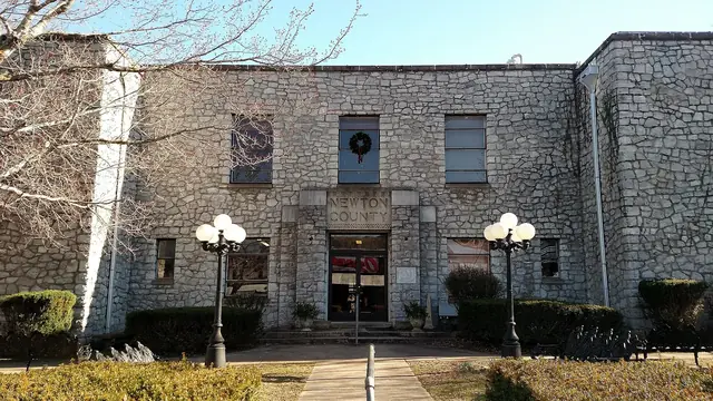
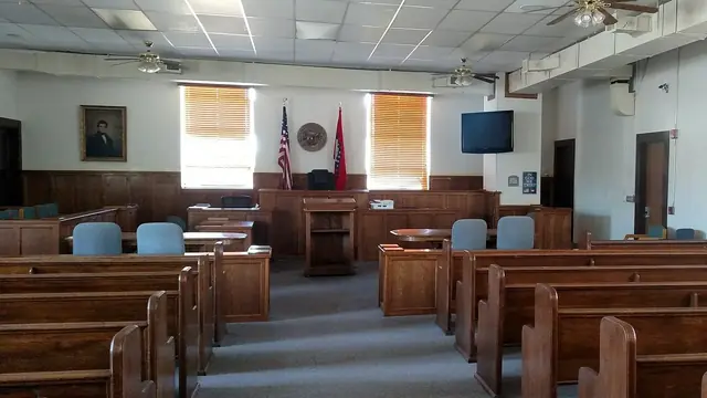
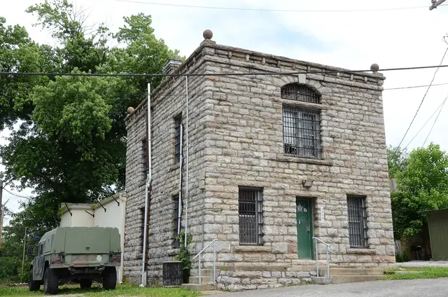
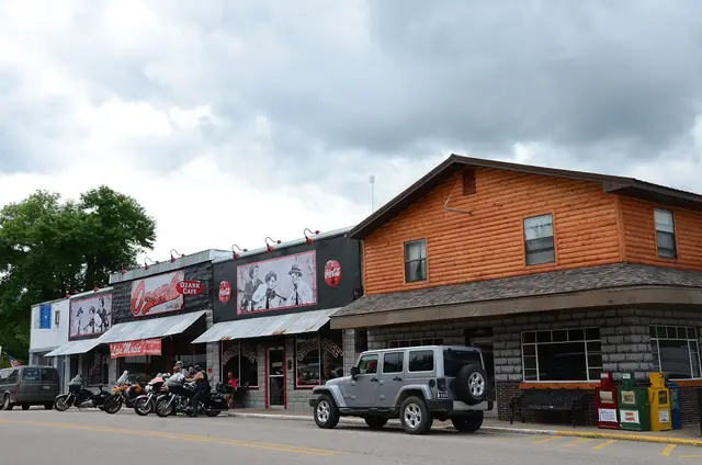
Newton County was formed from part of Carroll County and named for Thomas Willoughby Newton, then the U.S. marshal 1,2,3,4. The county court first met at the home of a settler named Bellah before Jasper became the permanent county seat in 1843 1,2,3,4. Jasper existed as a village by about 1840, but it was not incorporated until 1896 1,4. Becoming the county seat and becoming an incorporated town were therefore separate events 1,4.




The National Park Service's regional history identifies John Brisco, a Tennessean, as settling on the Little Buffalo near Jasper in 1825 2,3. It identifies Samuel Hudson as settling in the Jasper and Parthenon area in 1832 2,3. Neither man is documented as settling in the Arkansas Grand Canyon basin itself 2,3.
That geographical distinction matters because the Little Buffalo valley lies west and northwest of the western Big Creek drainage seen from the best-known canyon viewpoint 18,19,20. A history of settlement near Jasper is not automatically evidence for the first farm in the canyon basin 2,3,18.
Mount Judea's post office, schools and local families
Local histories identify the Greenhaw and Nichols families as Mount Judea's first white settlers, without giving exact arrival dates 2,3. By 1856, the community had Newton County's tenth post office, and a school was present by about 1860 1,9,10. Walter Lackey's county history transcribes the post office's establishment date as May 22, 1856 9,10.
Lackey describes Mount Judea in the late 1940s as having two school buildings, eight teachers and about 250 pupils 9,10. His account also lists a church, a post office, merchants and lodging 9,10. Those details describe the community at a particular historical moment, not a present-day inventory 9,10.
Mount Judea lies east-southeast of the best-known canyon viewpoint, and Big Creek flows north past the community on its way to the Buffalo River 18,19,20,21,22. Its history connects the mountain view to a settled drainage with documented farms and institutions 2,9,10,21.
Vendor and the older name Vendor Valley
According to Lackey, Vendor stood on Big Creek, with an earlier trading settlement called Sulphur Spring about two miles south of the later post office 5,6. He dates Vendor's post office to October 29, 1889, its closure to December 1890 and its reopening to April 10, 1896 5,6. The interruption and reopening are part of the community's postal history, rather than evidence for one uninterrupted starting date 5,6.
Around 1949, Lackey recorded a post-office store and a schoolhouse that also served as a church 5,6. Vendor also supplied the older name “Vendor Valley,” recorded in the account of how the Arkansas Grand Canyon tourism name was promoted 23.
From the Cliff House viewpoint, Vendor lies about 4.8 miles east in a straight line across the western Big Creek drainage 18,21,24. The history of the canyon's name explains the later promotional wording without replacing the older community history 23,25.
Deer, Nail, Sand Gap and Pelsor
Lackey dates Deer's post office to February 23, 1898 7,8. In the late 1940s, the community had a major high school, vocational training for 144 World War II veterans and three congregations 7,8. The often-repeated story that Deer was named for a pet deer is unconfirmed and should not be treated as an established origin 26.
Nail, also called Hickory Grove, was a sparsely settled area along Highway 16 with a post office before 1914 26,27. Sand Gap and Pelsor straddle the Newton and Pope county line 28. The Arkansas Register account of the Hankins Country Store distinguishes a store post office established in 1923 from Tom Hankins's appointment as postmaster in 1926 28.
The store handled mail, milling, voting and trade in furs and medicinal roots 28. Those functions place it within the history of community services and local trade, not just retail sales 28.
A divided county during the Civil War
Newton County was bitterly divided during the Civil War, with guerrilla warfare, raids and small skirmishes 1,11,29. John Cecil led Confederate irregulars, while a man named Vanderpool led Union-aligned fighters known as the “Mountain Feds” 1,11,29. Jasper was burned, and some residents fled or hid in caves 1,11,29.
Saltpeter, or niter, used for gunpowder was mined at Bat Cave near Boxley and on lower Cave Creek in Newton County 1,29. The Bat Cave works were destroyed in January 1863 1,29. These were regional wartime activities, not evidence that every named niter operation lay in the canyon basin 1,29.
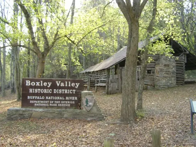


Farm life on Big Creek at the Hudson farm
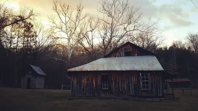
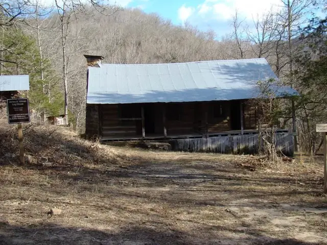
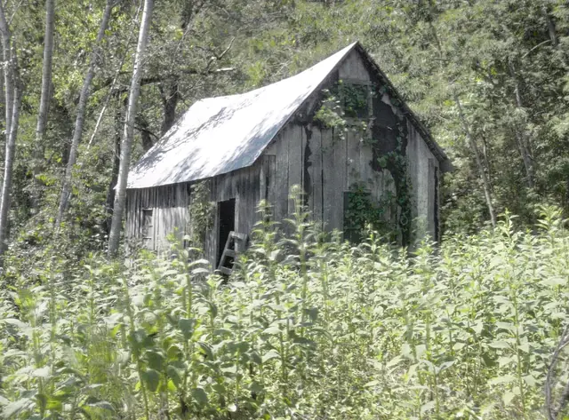
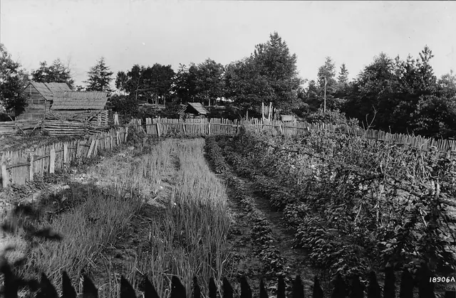
The Columbus and Delia Hudson Farm near Mount Judea is a particularly well-documented farm directly connected to Big Creek and is listed on the Arkansas Register of Historic Places 2,11. The Hudsons bought the 300-acre property on December 31, 1918, moved in around January 1919 and built their house around 1921 2,11. Its title history traces back to Francis M. Greenhaw's 1885 homestead 2,11.
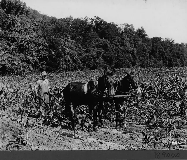
They grew corn, wheat, cotton and apples, raised cattle and hay, and operated a sawmill 2,11. Lum Hudson also worked in timber and served as county judge in 1939 and 1940 2,11. During the Depression, he spent about six months in California looking for work 2,11.
The record describes a household combining crop production, livestock, milling, timber work and public service 2,11. It also documents a search for employment away from the county, rather than a farm history confined entirely to one property 2,11.




Timber, national forests and Depression-era work
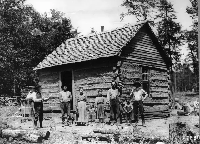
Timber became a major Newton County industry around 1900, supplying railroad ties, mine props, barrel staves, pencil wood and lumber 1,4,11. There was no railroad in the county, making transport of goods difficult 1,4,11. Lead and zinc mining took place at Ponca, Pruitt and Bald Hill, but those operations were not in the canyon basin 1.
The Ozark National Forest was proclaimed on March 6, 1908, from public-domain land; its first land purchases came in 1919 30,31. The proclamation and later purchases are distinct steps in the forest's history 30,31. Civilian Conservation Corps camps worked in the area during the Depression 32,33.



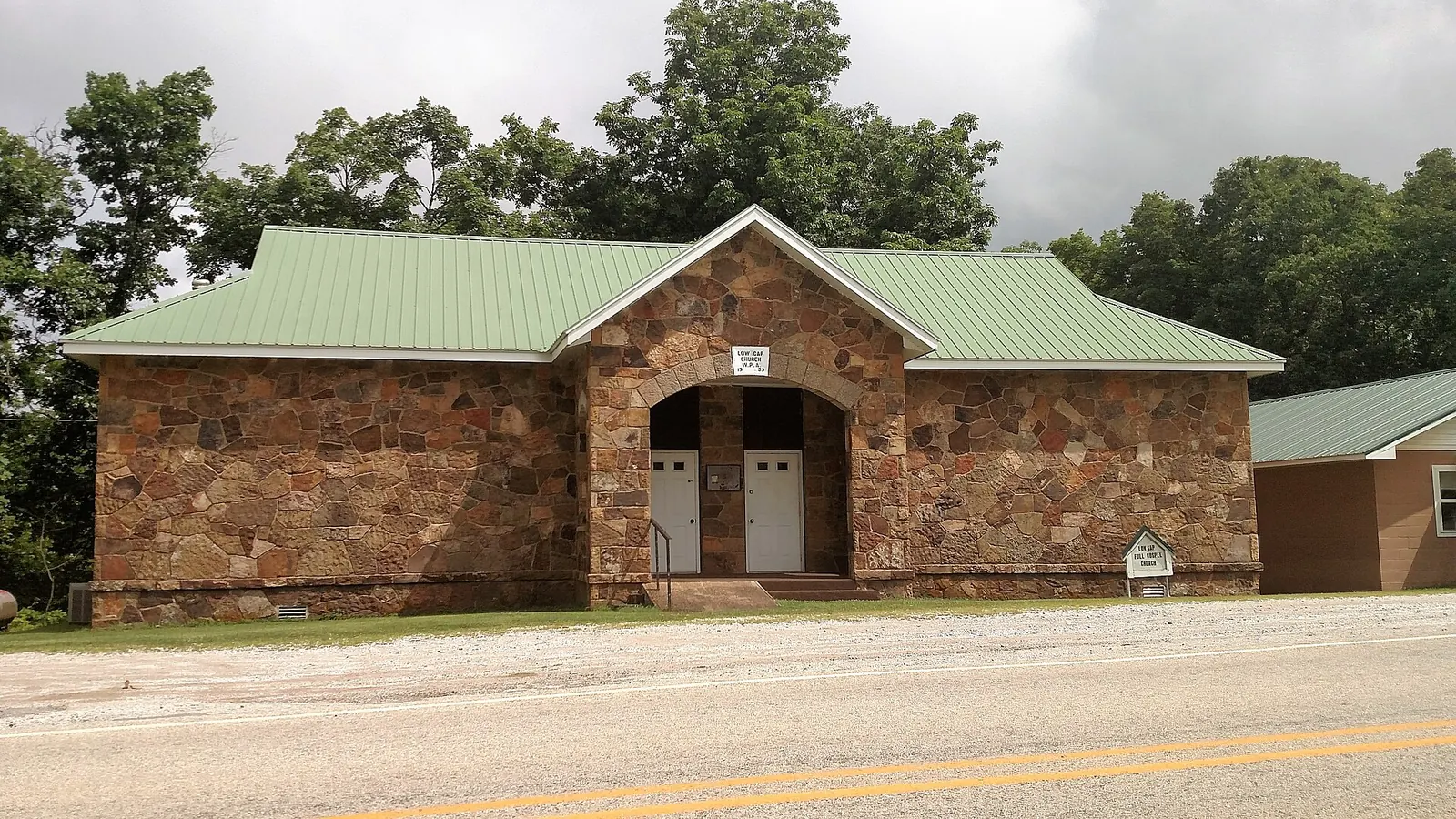
Jasper's courthouse burned in 1938, and the WPA built the current stone courthouse from 1939 to 1942 4. The Henry R. Koen Experimental Forest north of Jasper was acquired around 1950 and formally established in 1951 34. These dates trace separate chapters in the area's public-building and forest history 4,30,31,34.

Electricity and a changing county population
The regional electric cooperative organized in 1937 and began service in Carroll County in 1938 1,11. One resident recalled lights reaching Vendor homes and the church in August 1940 1,11. That recollection documents a local experience, not a date when every Newton County home received electricity 1,11.
Newton County's population was 12,538 in 1900, 10,564 in 1930, 10,881 in 1940, 8,685 in 1950 and 5,963 in 1960 1. Those figures show a long decline with a small rise between 1930 and 1940, not a decrease at every listed census 1.
The later tourism identity of the Arkansas Grand Canyon sits alongside this older record of farming, community institutions, difficult transport and changing population 1,2,5,6,7,8,9,10,11,23. The regional timeline follows these community developments alongside the history of Scenic Highway 7 1,2,4,35,36.
Related reading
- Native history — the region before county founding.
- Where the canyon name came from — Vendor Valley and tourism.
- Big Creek and the Buffalo River — keep the valleys distinct.
- Scenic Highway 7 — the road through the region.
- Regional timeline — events in chronological order.
Sources for this page
Numbers in the text match this list. Bracketed numbers link to the complete source list. Accessed on or before November 3, 2026.
- Newton County encyclopediaofarkansas.net/entries/newton-county-364/ [56]
- Arkansas Historic Preservation Program, Columbus and Delia Hudson Farm www.arkansasheritage.com/arkansas-register/columbus-and-delia-hudson-far… [62]
- National Park Service, Let the River Be: A History of the Ozark's Buffalo River, Chapter 2 npshistory.com/publications/buff/history/chap2.htm [63]
- AHPP: Jasper Commercial Historic District tour script, April 12, 2014 www.arkansasheritage.com/docs/default-source/ahpp-documents/sandwiching-… [64]
- Walter F. Lackey, History of Newton County, Arkansas, HathiTrust page sequence 257 babel.hathitrust.org/cgi/ssd?id=nnc1.cu01635522&seq=257 [67]
- Walter F. Lackey, History of Newton County, Arkansas, HathiTrust page sequence 209 babel.hathitrust.org/cgi/ssd?id=nnc1.cu01635522&seq=209 [68]
- Walter F. Lackey, History of Newton County, Arkansas, HathiTrust page sequence 196 babel.hathitrust.org/cgi/ssd?id=nnc1.cu01635522&seq=196 [69]
- Walter F. Lackey, History of Newton County, Arkansas, HathiTrust page sequence 227 babel.hathitrust.org/cgi/ssd?id=nnc1.cu01635522&seq=227 [70]
- Walter F. Lackey, History of Newton County, Arkansas, HathiTrust page sequence 193 babel.hathitrust.org/cgi/ssd?id=nnc1.cu01635522&seq=193 [65]
- Walter F. Lackey, History of Newton County, Arkansas, HathiTrust page sequence 248 babel.hathitrust.org/cgi/ssd?id=nnc1.cu01635522&seq=248 [66]
- Shiloh Museum: Scenes of Newton County shilohmuseum.org/project/scenes-of-newton-county/ [74]
- People — Buffalo National River www.nps.gov/buff/learn/historyculture/people.htm [42]
- Timeline — Bluff Shelters of the Arkansas Ozarks archeology.uark.edu/ozarkbluffshelters/people/timeline/ [43]
- Who Used Bluff Shelters? archeology.uark.edu/ozarkbluffshelters/people/who-used-bluff-shelters/ [54]
- Osage encyclopediaofarkansas.net/entries/osage-551/ [55]
- Cherokee encyclopediaofarkansas.net/entries/cherokee-553/ [57]
- Treaty With the Western Cherokee, 1828 www.si.edu/newsdesk/releases/treaty-western-cherokee-1828-go-view-nation… [58]
- USGS National Hydrography Dataset: Large-scale flowlines hydro.nationalmap.gov/arcgis/rest/services/nhd/MapServer/6 [10]
- USGS: Big Creek seepage and dye-tracing data release www.usgs.gov/data/seepage-investigation-and-dye-tracing-characterize-bas… [11]
- USGS GNIS: Big Creek, Left Fork, and both Dry Branch records carto.nationalmap.gov/arcgis/rest/services/geonames/MapServer/6/query?f=… [12]
- USGS GNIS: Vendor, Mount Judea, and Red Rock carto.nationalmap.gov/arcgis/rest/services/geonames/MapServer/3/query?f=… [26]
- University of Arkansas: Sokolosky thesis on Big Creek geochemistry, 2019 scholarworks.uark.edu/cgi/viewcontent.cgi?article=4950&context=etd [27]
- Bill Bowden, State’s Grand Canyon still a draw, February 3, 2020, PressReader edition www.pressreader.com/usa/arkansas-democrat-gazette/20200203/2817412714065… [3]
- Cliff House Inn: Published coordinates and directions cliffhouseinnar.com/contact/ [1]
- History of the Cliff House Inn cliffhouseinnar.com/about/ [35]
- Walter F. Lackey, History of Newton County, Arkansas, HathiTrust page sequence 250 babel.hathitrust.org/cgi/ssd?id=nnc1.cu01635522&seq=250 [71]
- Newton County Historical Society, "The Legend of Nail" www.newtoncountyar.com/product-page/the-legend-of-nail [72]
- Arkansas Historic Preservation Program, Hankins Country Store www.arkansasheritage.com/arkansas-register/hankins-country-store [73]
- National Park Service, Let the River Be: A History of the Ozark's Buffalo River, Chapter 3 npshistory.com/publications/buff/history/chap3.htm [75]
- U.S. Forest Service, history of the Ozark-St. Francis National Forests, Chapter 2 npshistory.com/publications/usfs/region/8/ozark-st-francis/history/chap2… [76]
- U.S. Forest Service, history of the Ozark-St. Francis National Forests, Chapter 1 npshistory.com/publications/usfs/region/8/ozark-st-francis/history/chap1… [77]
- U.S. Forest Service, history of the Ozark-St. Francis National Forests, Chapter 5 npshistory.com/publications/usfs/region/8/ozark-st-francis/history/chap5… [78]
- U.S. Forest Service, history of the Ozark-St. Francis National Forests, Chapter 4 npshistory.com/publications/usfs/region/8/ozark-st-francis/history/chap4… [79]
- USDA Forest Service Southern Research Station, Henry R. Koen Experimental Forest research.fs.usda.gov/srs/forestsandranges/locations/henry-r-koen [80]
- CALS: Arkansas Highway 7 encyclopediaofarkansas.net/entries/arkansas-highway-7-14001/ [21]
- ARDOT: Scenic Byways ardot.gov/divisions/right-of-way/row_sections/beautification-section/sce… [22]