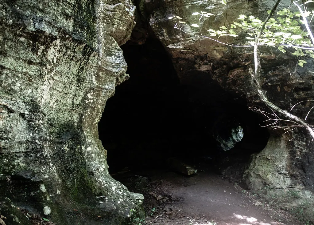
People have used the Buffalo River region for more than 11,000 years, long before the landscape south of Jasper acquired its Arkansas Grand Canyon tourism name 1,2,3. Dry Ozark bluff shelters preserved an unusually rich record of Native life, including baskets, textiles, wooden tools and plant remains 4,5. These sites belong to a continuing Native history, not the story of a separate, vanished “bluff dweller” race 4,5. The archaeological evidence is regional; it does not establish that every recognized cultural period is represented at the Highway 7 overlook itself 1,2.
More than 11,000 years of regional history
The National Park Service recognizes Paleoindian, Dalton, Archaic, Woodland, Mississippian and Contact-period cultures in the Buffalo River region 1,2. That sequence describes a long regional record, not a documented occupation sequence for one roadside viewpoint 1,2. The Arkansas Grand Canyon view lies in the western Big Creek drainage, part of the Buffalo River watershed 6,7,8.
Archaeological work does connect Native history to Big Creek: a 1974 assessment for Buffalo National River, published in 1979, recorded Native sites along Newton County's Big Creek 9. At Rattlesnake Basket Rockshelter, artifacts include chert obtained from cobbles in Big Creek, the Left Fork and the Buffalo River 10. These are specific connections to the drainage, unlike an unsupported claim that all regional periods occurred at the overlook 1,2,9,10.
The Big Creek and Buffalo River relationship provides a useful geographical frame for this history, while preserving the distinction between the tributary valley and the Buffalo's main channel 6,7,8.
Archaic, Woodland and Mississippian life
Archaic people hunted, fished and gathered wild plants, and used spear-throwers called atlatls 2,11,12. They moved seasonally, with rock shelters forming part of that cycle rather than necessarily serving as permanent homes 2,11,12. Native peoples domesticated local seed plants long before corn became an important crop 2,11,12.
The Woodland period brought pottery, increased gardening and eventually the bow and arrow 2,11,12. The shelter record preserves evidence of plant use and food-related activities as well as tools, making it more than a record of hunting alone 2,4,5,11,12.
Large Mississippian towns characterized by corn farming and shell-tempered pottery developed elsewhere in Arkansas 1,4,13. Those patterns should not automatically be assigned to the Ozark uplands 1,4,13. The upland region was neither empty nor isolated, but its history differed from the large-town patterns documented elsewhere in the state 1,4,13.
Materials at Rattlesnake Basket Rockshelter include novaculite from the Ouachitas as well as locally obtained chert 10. That combination is one specific example of local materials occurring alongside stone from far beyond the Big Creek drainage 10. It does not require treating the uplands as culturally identical to every other part of Arkansas 1,4,10,13.
What the bluff shelters preserved
The dry conditions in Ozark bluff shelters preserved objects that rarely survive at other sites, including baskets, textiles, cordage, wooden tools and plant remains 4,5. The shelters themselves formed mostly through weathering and undercutting of cliffs, not the collapse of underground caverns 14,15,16,17. Their geological setting and their archaeological record describe different aspects of the same regional landscape 4,5,17.
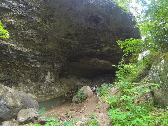

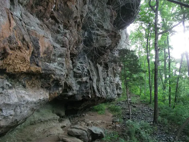

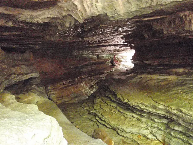

Mark Harrington investigated shelters, including some in Newton County, in 1922 and 1923 for the Heye Foundation's Museum of the American Indian in New York 18. Samuel Dellinger of the University of Arkansas led a major shelter program from 1931 to 1934, working at 85 sites across the region 18.
Dellinger visited Cob Cave in 1931 18,19. University collections include corn cobs and a tray from a cache of five baskets, dated by the Arkansas Archeological Survey to more than 600 years ago 18,19. The survey interprets the tray as probably used for winnowing or sifting; that probable function should not be turned into a certainty 19.
Excavations at Saltpeter Cave in 1969 and 1970 documented human use going back at least 8,000 years 20. Rattlesnake Basket Rockshelter has evidence of intermittent use from the Late Paleoindian period through late prehistory, spanning more than 11,800 years 10. Intermittent use is not the same as continuous residence by one community throughout that entire span 10.
Why the “bluff dweller” story is wrong
Early twentieth-century writers described a separate, primitive “Ozark Bluff Dweller” people who supposedly vanished 4,5. Archaeologists now reject that interpretation 4,5. The people who used the shelters were ancestors and relatives of known Native groups, not a lost race disconnected from Native history 4,5.
Shelters served several purposes, including hunting camps, food processing, storage and sometimes burial or ritual 4,5. The presence of material in a shelter therefore does not mean its users belonged to a distinct people defined by permanent cave living 4,5. The old label turns a type of place into an imagined identity that the archaeological interpretation does not support 4,5.
Osage ancestral territory and the Buffalo River country
The Osage considered the Ozarks part of their ancestral territory and hunted in the Buffalo River country 1,21,22. Henry Rowe Schoolcraft recorded observations of the region during his 1818 to 1819 journey 1,21,22. The Osage ceded land through treaties in 1808, 1818 and 1825 23.
This history places the later settlement of Newton County within a region that already had Native inhabitants, land relationships and a long archaeological record 1,2,21,22,23. It should not be read as the first human occupation of an empty mountain landscape 1,2,4,5.
Western Cherokee lands and the 1828 treaty
Cherokee people began moving into Arkansas before 1810, with the first movements dated to the 1780s or 1790s 1,24. An 1817 treaty provided Arkansas lands, including the Buffalo watershed, to the group now called the Western Cherokee 1,24. Under the treaty of May 6, 1828, the Western Cherokee surrendered their Arkansas lands in exchange for lands farther west 24,25.
That event was separate from the later Trail of Tears removal of the Eastern Cherokee 24,25. No Trail of Tears route along today's Highway 7 has been verified, so the highway should not be presented as a documented removal route 24,25. The supported account is of Western Cherokee lands in the region from 1817 to 1828, not an unqualified claim that the Arkansas Grand Canyon was a Cherokee reservation 24,25.
The relationship is not only historical 26. In 2022, the Cherokee Nation and the National Park Service signed an agreement allowing traditional plant gathering at Buffalo National River 26. That agreement is a documented example of a continuing relationship between the Cherokee Nation and the regional landscape 26.
Protect shelters and leave archaeological material in place
Archaeological site-location information is protected, and digging or collecting artifacts on federal land is a crime 27,28. Looting archaeological sites is not a harmless form of souvenir collecting 27,28. Do not dig, remove objects or disturb shelter deposits 27,28.
Site protection also means avoiding the circulation of coordinates, directions or maps to sensitive archaeological sites 27,28. Learning from the published archaeological record does not require locating or disturbing the places that preserved it 27,28.
Related reading
- How the canyon formed — rocks and shelter formation.
- Settlement history — the later community record.
- Big Creek and the Buffalo River — regional geography.
- Myths and facts — separate evidence from folklore.
Sources for this page
Numbers in the text match this list. Bracketed numbers link to the complete source list. Accessed on or before November 3, 2026.
- People — Buffalo National River www.nps.gov/buff/learn/historyculture/people.htm [42]
- Timeline — Bluff Shelters of the Arkansas Ozarks archeology.uark.edu/ozarkbluffshelters/people/timeline/ [43]
- Bill Bowden, State’s Grand Canyon still a draw, February 3, 2020, PressReader edition www.pressreader.com/usa/arkansas-democrat-gazette/20200203/2817412714065… [3]
- Beyond Bluff-dwellers archeology.uark.edu/ozarkbluffshelters/people/beyond-bluff-dwellers/ [47]
- Ozark Bluff Dweller Myth encyclopediaofarkansas.net/entries/ozark-bluff-dweller-myth-13214/ [48]
- USGS National Hydrography Dataset: Large-scale flowlines hydro.nationalmap.gov/arcgis/rest/services/nhd/MapServer/6 [10]
- USGS: Big Creek seepage and dye-tracing data release www.usgs.gov/data/seepage-investigation-and-dye-tracing-characterize-bas… [11]
- USGS GNIS: Big Creek, Left Fork, and both Dry Branch records carto.nationalmap.gov/arcgis/rest/services/geonames/MapServer/6/query?f=… [12]
- Daniel Wolfman — Archeological Assessment of the Buffalo National River npshistory.com/publications/buff/arch-assessment.pdf [53]
- Rattlesnake Basket Rockshelter encyclopediaofarkansas.net/entries/rattlesnake-basket-rockshelter-19276/ [52]
- Archaic Period encyclopediaofarkansas.net/entries/archaic-period-542/ [44]
- Woodland Period encyclopediaofarkansas.net/entries/woodland-period-543/ [45]
- Mississippian Period encyclopediaofarkansas.net/entries/mississippian-period-544/ [46]
- Arkansas Geological Commission: Parthenon geological map geology.arkansas.gov/docs/pdf/maps-and-data/geologic_maps/24k/Parthenon.… [14]
- Arkansas Geological Survey: Mount Judea geological map, revised 2015 geology.arkansas.gov/docs/pdf/maps-and-data/geologic_maps/24k/Mount%20Ju… [15]
- National Park Service, Digital Geologic-GIS Map of Buffalo National River and vicinity (NPS DataStore) irma.nps.gov/DataStore/DownloadFile/680757?Reference=2255898 [29]
- Arkansas Archeological Survey: Geology of Ozark bluff shelters archeology.uark.edu/ozarkbluffshelters/basics/geology/ [16]
- Early Archeology archeology.uark.edu/ozarkbluffshelters/basics/early-exploration/ [49]
- Cob Cave Tray Basket archeology.uark.edu/ozarkbluffshelters/archeological-sites/cob-cave-tray… [50]
- Saltpeter Cave archeology.uark.edu/ozarkbluffshelters/archeological-sites/salt-peter-ca… [51]
- Who Used Bluff Shelters? archeology.uark.edu/ozarkbluffshelters/people/who-used-bluff-shelters/ [54]
- Osage encyclopediaofarkansas.net/entries/osage-551/ [55]
- Newton County encyclopediaofarkansas.net/entries/newton-county-364/ [56]
- Cherokee encyclopediaofarkansas.net/entries/cherokee-553/ [57]
- Treaty With the Western Cherokee, 1828 www.si.edu/newsdesk/releases/treaty-western-cherokee-1828-go-view-nation… [58]
- Pact forged with National Park Service for plant gathering www.cherokeephoenix.org/news/pact-forged-with-national-park-service-for-… [59]
- Endangered by Looting and Development archeology.uark.edu/ozarkbluffshelters/importance/endangered/ [60]
- ARPA sentencing at Buffalo National River www.nps.gov/orgs/1563/isb-buff-case-update-04212021.htm [61]