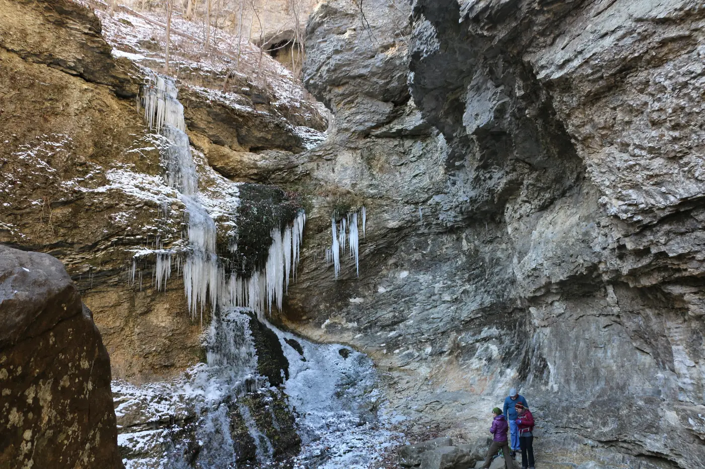

Near the Arkansas Grand Canyon, visitors can combine Highway 7 viewpoints with hikes, Buffalo River access, Jasper's historic places and elk viewing in Boxley Valley 1,2,3,4,5,6,7. There is no formally bounded public “Arkansas Grand Canyon park” with its own hours or entrance fee 1,8. The distances below use the Cliff House area as a reference, but road estimates and straight-line measurements are kept separate because straight-line distances are shorter than the actual drive 1,5,8,9,10.
How to use the distances and access notes
The road-mile estimates come from published town mileages; the straight-line figures are not driving directions 1,2,8,11,12,13. No distance is given where it has not been established 6,14,15. Hours, fees and closure notices were checked November 3, 2026 3,9,15,16,17. Use the linked agency information to confirm conditions before leaving, especially where a table notes road damage, construction or a closure.
Buffalo National River has no entrance fee, although its campgrounds charge fees 9,18. National Forest sites have their own access rules and facilities, so a free day-use area is not necessarily a campground 4,16,19. See where to stay for a fuller camping comparison.
Attractions by estimated road distance
These are approximate road distances from the Cliff House area, not precise route measurements 1,2,4,8,11,20. Fees and access notices in this table were checked November 3, 2026 3,4,16,17,19,20,21.
| Attraction | Estimated road distance | What to expect |
|---|---|---|
| Highway 7 canyon viewpoints | 0 miles | Roadside valley views; ownership and hours of public pullouts remain unconfirmed 1,8 |
| Scenic Point | About 2.4 miles north | Commercial lookout tower and gift shop, present by 1960; current hours and fees unverified 11 |
| Jasper square and courthouse | About 6 miles north | County seat with a WPA-built courthouse constructed from 1939 to 1942; still a working government building 2 |
| Bradley Park | About 6 miles | City park on the Little Buffalo with a trail, pavilion and recreation areas 22 |
| Bradley House Museum and Chaney Log Cabin | About 6 miles | Newton County history museum; free with a $3 suggested donation; closed January and February 3 |
| Koen Interpretive Trail | About 10.5 miles | Forest Service tree-identification trail, 0.27 miles long, with accessible design 23 |
| Pruitt | About 11.6 miles north | National river access, day use and trails; the landing is downstream of the Highway 7 bridge 24,25 |
| Hasty access | About 12.8 miles | National river landing without a developed campground 26 |
| Alum Cove Natural Bridge | About 13 miles | Natural arch about 130 by 20 feet; free day use, no water or camping 4 |
| Fairview Trailhead | About 22 miles south | Ozark Highlands Trail trailhead; former campground, now free and year-round 19 |
| Rotary Ann roadside park | About 27 miles south | Forest Service day-use overlook of the Big Piney valley; no camping through December 31, 2026 16 |
| Pedestal Rocks and Kings Bluff | About 29 miles | Free scenic area with 2.2- and 1.7-mile trails and bluff hazards 20 |
| Hurricane Creek Wilderness | About 37 miles | Federal wilderness; Highway 123 bridge work through December 3, 2026 affects access 17,27 |
| Richland Creek Wilderness and Recreation Area | About 42 miles via Pelsor | Rough approach roads; campground has 16 sites at $10 a night; bring water 21,28 |
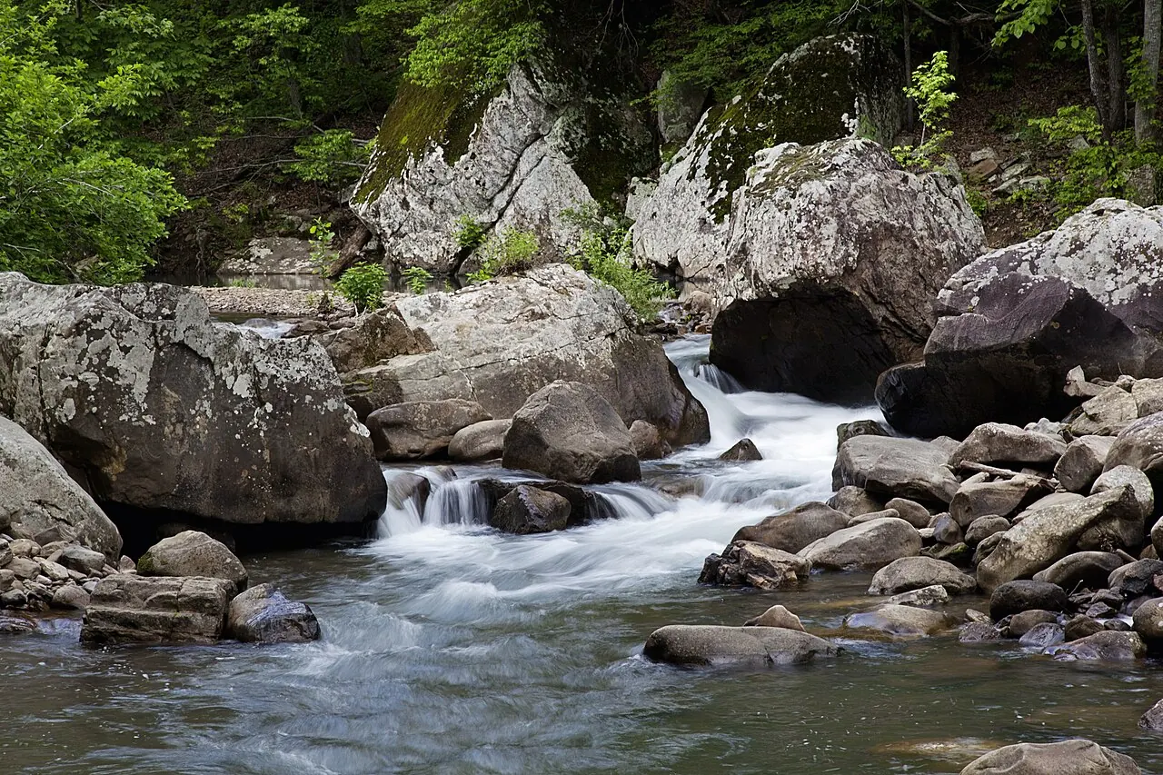

Highway 7 views are more than one location
The Arkansas Grand Canyon is a tourism name for the valley landscape seen along Scenic Highway 7 about six miles south of Jasper 1,8. The Cliff House is the best-known vantage point and is private property; ARDOT's 2026 campaign identifies a different roadside point for its Arkansas Grand Canyon stop 1,8,29,30. Scenic Point is another distinct commercial viewpoint, not another name for the inn 11. Do not assume that all these places share ownership, visiting hours or admission arrangements 1,8,11.
The valley directly below the best-known viewpoint is the western Big Creek drainage, not the Buffalo River's main channel 31,32,33. The Big Creek and Buffalo River guide explains how the two are connected.
Short trails, a natural bridge and local history
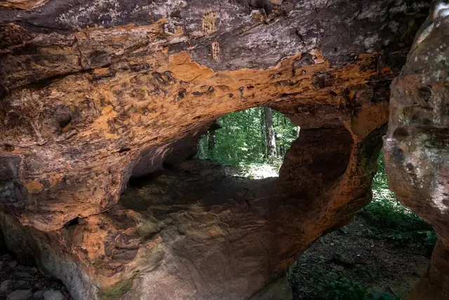
Koen Interpretive Trail's 0.27-mile route focuses on tree identification and has an accessible design 23. Alum Cove offers a different kind of stop, centered on a natural arch about 130 feet long and 20 feet wide 4. Its free day-use status does not include drinking water or camping, checked November 3, 2026 4.
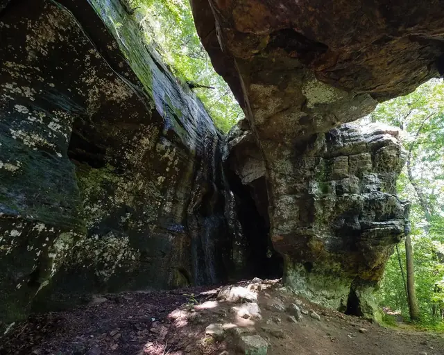
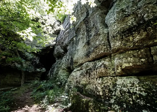
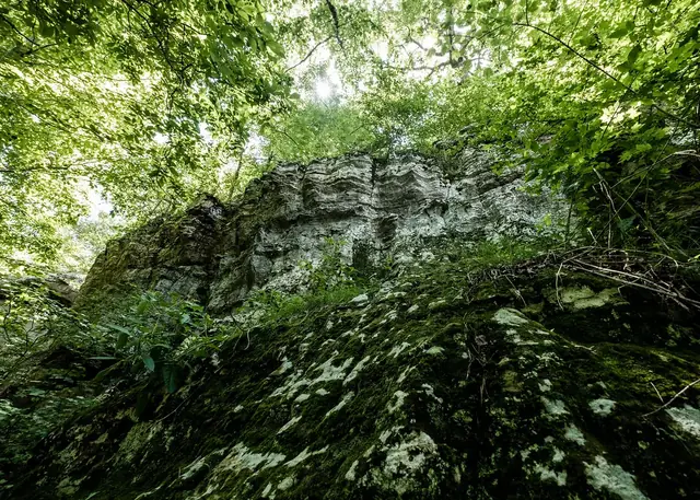
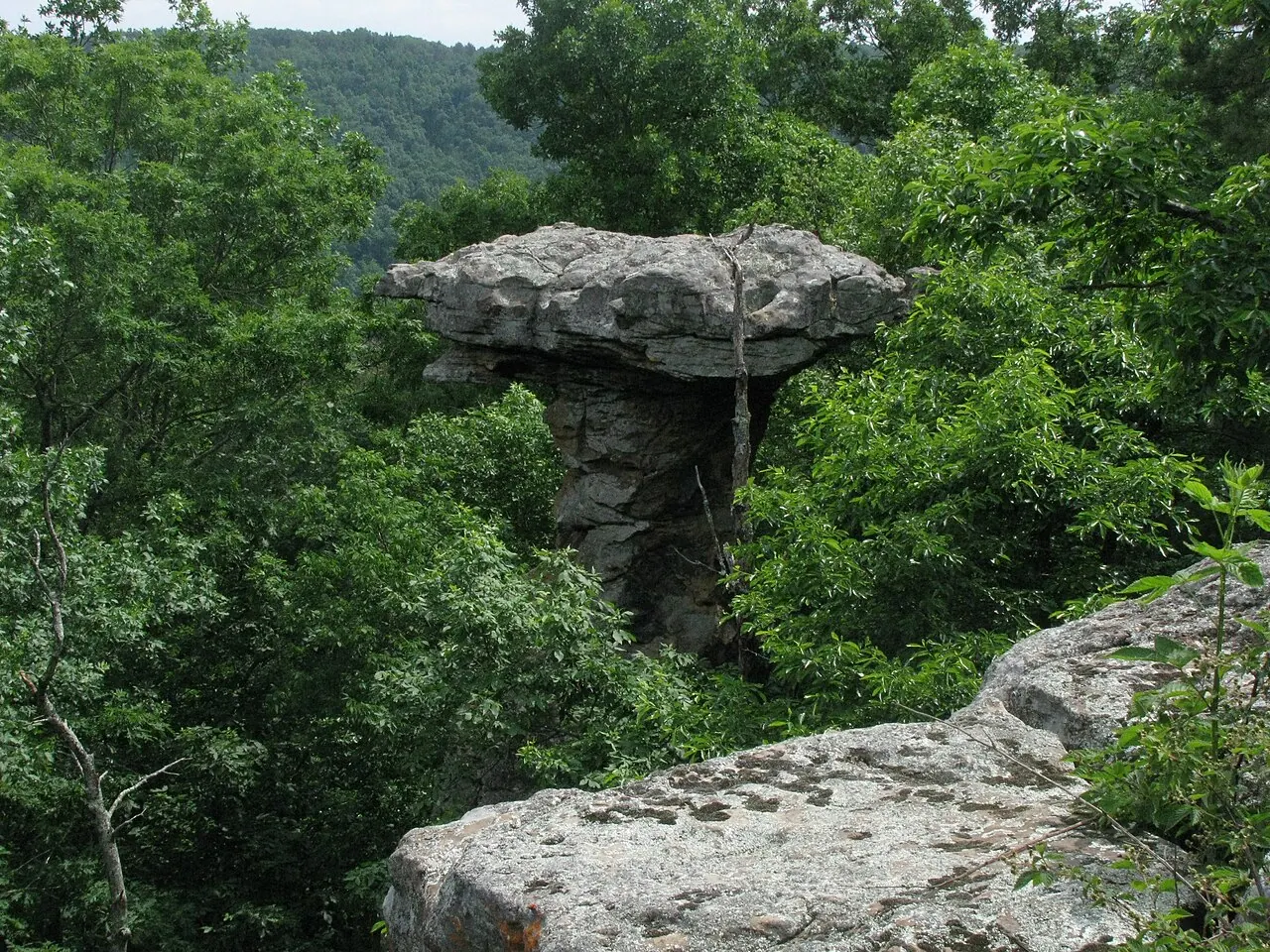
Pedestal Rocks and Kings Bluff provide two trails of 2.2 and 1.7 miles in a Forest Service scenic area, with bluff hazards noted by the agency 20. Farther south on Highway 7, Rotary Ann overlooks the Big Piney valley, a separate landscape from the Arkansas Grand Canyon 16,34. The no-camping order there runs through December 31, 2026, checked November 3, 2026 16.

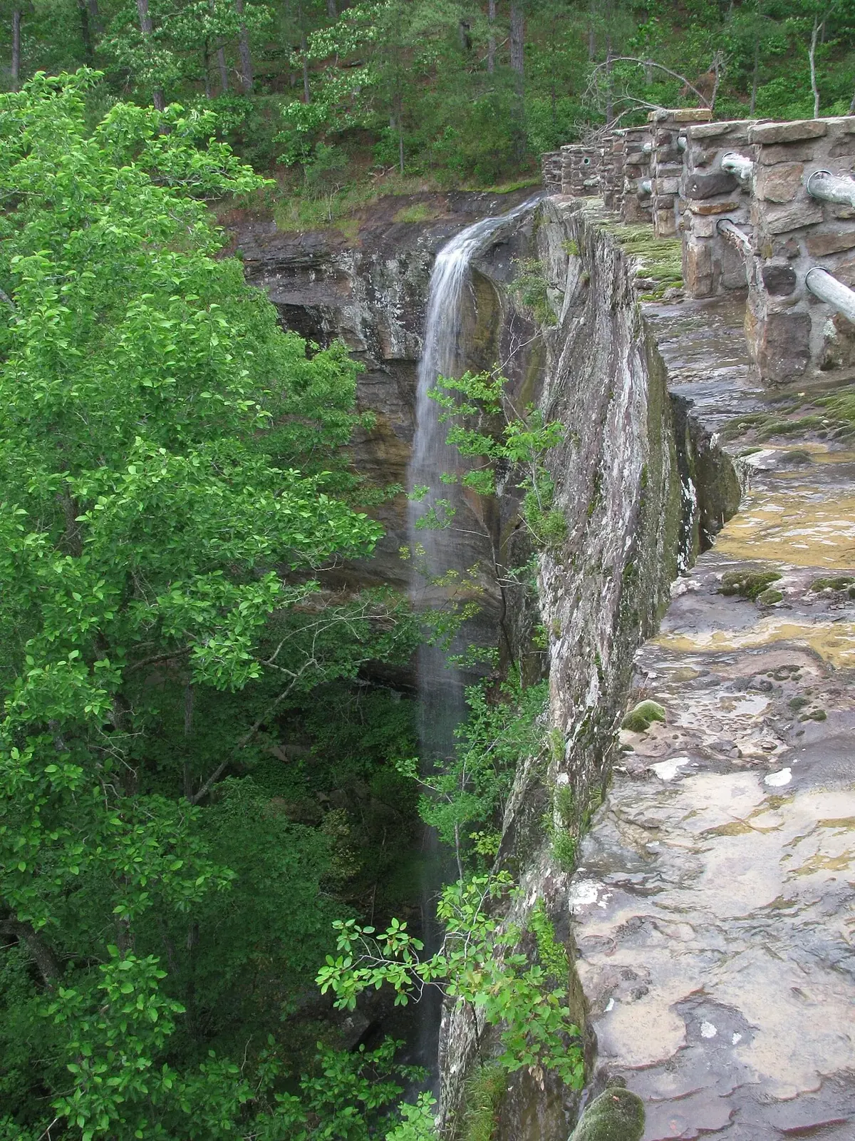

For local history, Jasper's courthouse dates to WPA construction from 1939 to 1942, and the Bradley House Museum and Chaney Log Cabin interpret Newton County history 2,3. The museum's free admission, $3 suggested donation and January–February closure were checked November 3, 2026 3. Jasper's food and shops can be considered alongside a museum or park stop.
Attractions by straight-line distance
Driving is farther than every distance in this section; use these figures only to understand relative location 5,9,10,26,35,36. Campground charges, opening information and closure status were checked November 3, 2026 9,14,35,36,37,38.
| Attraction | Straight-line distance | What to expect |
|---|---|---|
| Round Top Mountain | About 2.8 miles | Public trail park with overlooks and a 1948 plane-crash site listed on the Arkansas Register 10 |
| Carver | About 7.5 miles | Buffalo River access at the Big Creek confluence; eight walk-in campsites, $16 a night in season 9,26 |
| Ozark Campground | About 8.1 miles | National river campground with 30 sites, $20 a night in season, and a $25 pavilion 9 |
| Sam's Throne | About 8.1 miles | Free Forest Service climbing, hiking and camping on Judea Mountain above Big Creek; no drinking water 35 |
| Erbie | About 10.1 miles | National river campground; individual sites $20 and group sites $50 in season 9 |
| Kyles Landing | About 10.1 miles | National river campground with 33 walk-in sites; high-clearance 4WD strongly recommended, no RVs 9 |
| Former Dogpatch USA site | About 11.3 miles | Private redevelopment associated with the Marble Falls Nature Park plan; not open to the public 37 |
| Steel Creek | About 12.1 miles | National river campground with 26 tent sites and 14 horse sites, $20 in season 9 |
| Mystic Caverns | About 12.2 miles | Former show cave, reported closed since November 2021 38 |
| Mount Hersey | About 12.5 miles | Free national river access and primitive camping; rough gravel road, no drinking water 14 |
| Lost Valley Trail | About 12.6 miles | National river day hike with Eden Falls, a natural bridge and Cob Cave; no pets 5 |
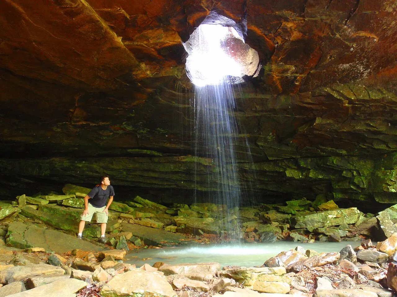
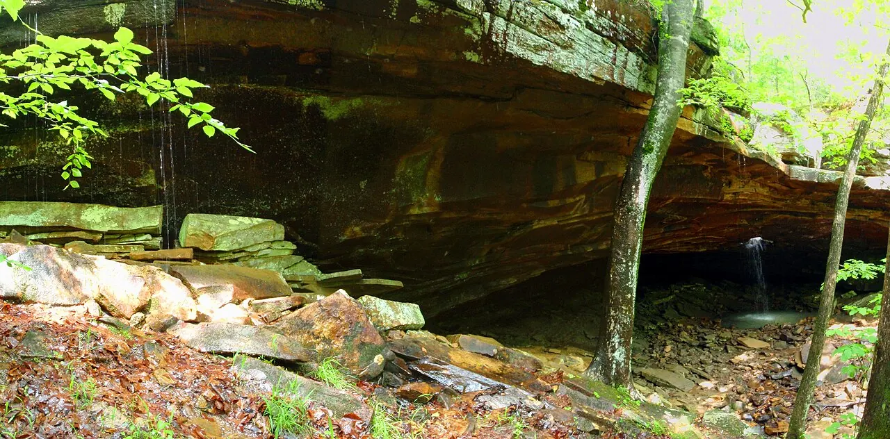
| Glory Hole Falls | About 15.1 miles | National Forest waterfall hike of about two miles with elevation change 39 |
| Whitaker Point, or Hawksbill Crag | About 16.9 miles | Forest Service trail, not an NPS site; free and open 24 hours, without a restroom or water 36 |







Lost Valley, Hawksbill Crag and mountain overlooks
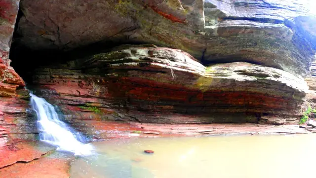
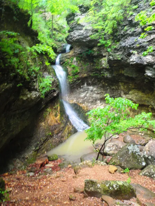
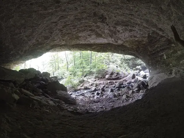
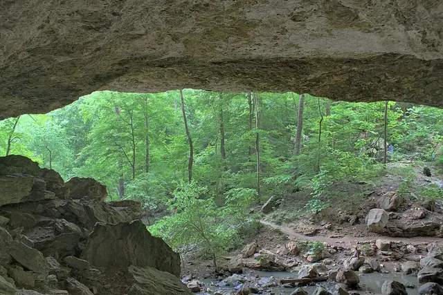
Lost Valley combines Eden Falls, a natural bridge and Cob Cave on a Buffalo National River day hike, and pets are prohibited 5. Whitaker Point, also called Hawksbill Crag, belongs to the Forest Service rather than the National Park Service 36. Its free, 24-hour access and lack of restroom or drinking water were checked November 3, 2026 36.
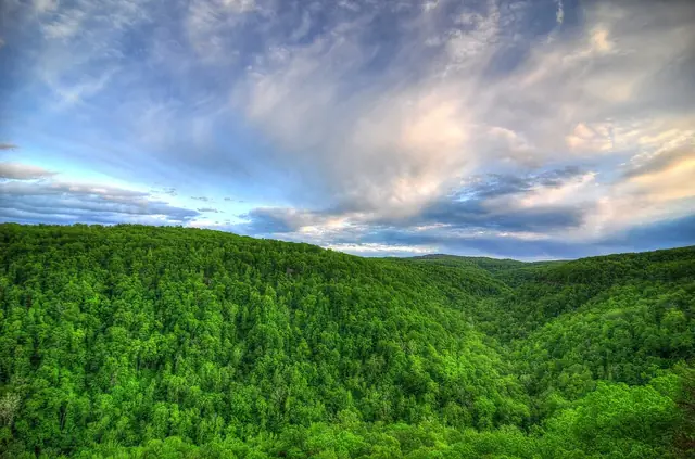

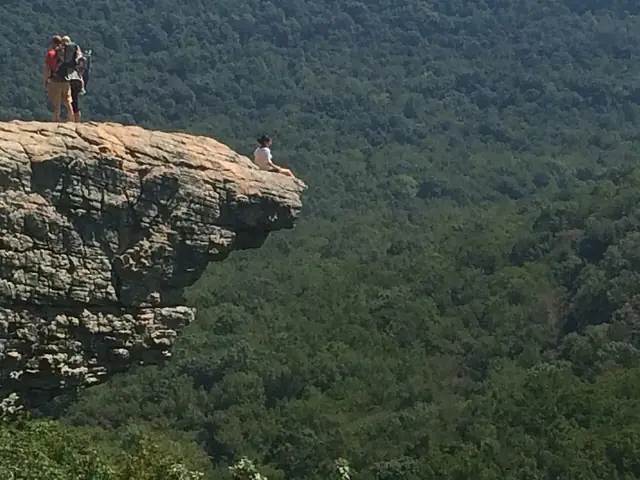

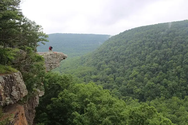

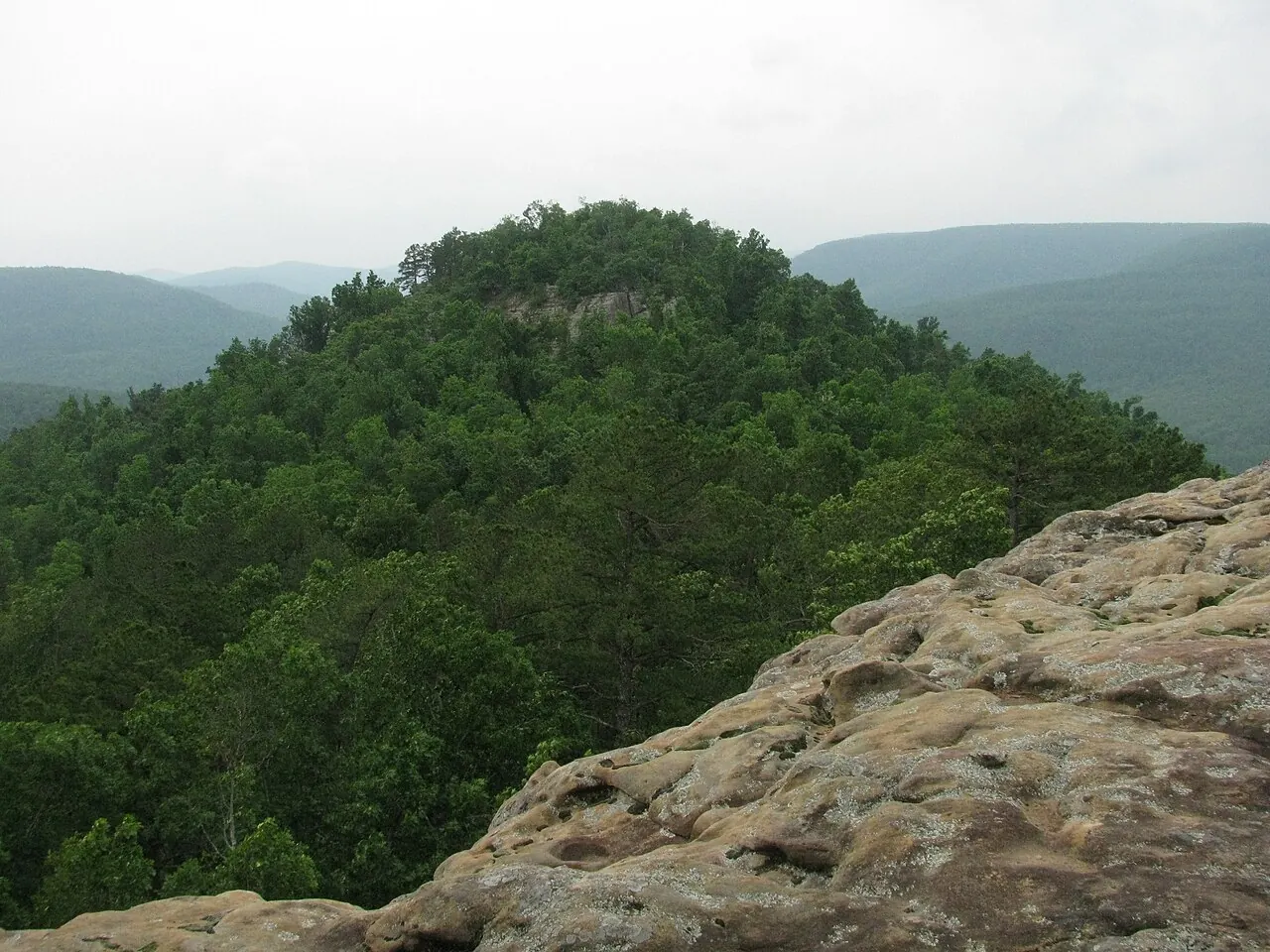
Round Top Mountain is a public trail park with overlooks and a historic crash site dating to 1948 10. Sam's Throne offers hiking, climbing and camping on Judea Mountain overlooking Big Creek, with no drinking water 35. These are separate mountain destinations, not access routes to a single public canyon park 1,8,10,35.


Buffalo River access and camping stops
Pruitt's landing is downstream of the Highway 7 bridge, while Carver is where Big Creek meets the Buffalo River 24,25,26. Hasty is a river landing without a developed campground 26. Kyles Landing has 33 walk-in campsites, but its approach warrants a high-clearance four-wheel-drive vehicle and it does not accommodate RVs, checked November 3, 2026 9. Upper-river floating depends on rainfall, so ask an outfitter about conditions rather than assuming a float is available on any particular day 40.
Places without an established distance
No distance from the Cliff House area has been established for these listings 6,14,15. Ponca Nature Center's hours and admission were checked November 3, 2026 15.
| Place | Why visit | Access note |
|---|---|---|
| Boxley Valley | Historic farm valley within the national river and the best area for elk viewing | Park only in designated areas and remain 150 feet from elk 6,7 |
| Ponca Nature Center | Arkansas Game and Fish nature center at 4642 Highway 43 | Free; Wednesday to Saturday, 10 a.m. to 4:30 p.m. 15 |
| Woolum | Buffalo River access at Richland Creek | Check the road and water crossings before traveling 14 |
Boxley Valley's farm landscape and elk-viewing opportunities provide a different kind of outing from the Highway 7 rim 6,7. Elk watchers should use designated parking and maintain the 150-foot separation specified in NPS guidance 7.
Related reading
- Where to stay — lodging and campsite comparisons.
- Food, shops and outfitters — supplies and float services.
- Big Creek and the Buffalo River — the watershed and river.
- Scenic Highway 7 — roadside travel and history.
Sources for this page
Numbers in the text match this list. Bracketed numbers link to the complete source list. Accessed on or before November 3, 2026.
- Arkansas Tourism, Arkansas Scenic 7 Byway www.arkansas.com/experiences/discover/attraction-listings/arkansas-sceni… [2]
- Association of Arkansas Counties Newton County www.arcounties.org/counties/newton/ [190]
- Newton County Historical Society museum visitor information www.newtoncountyar.com/ [192]
- Alum Cove Natural Bridge Recreation Area www.fs.usda.gov/r08/ozark-stfrancis/recreation/alum-cove-natural-bridge-… [195]
- NPS Lost Valley trail visitor information www.nps.gov/thingstodo/hike-the-lost-valley-trail.htm [206]
- Boxley Valley Cultural Landscape www.nps.gov/articles/000/boxley-valley-500898.htm [209]
- NPS archived elk-viewing safety guidance www.nps.gov/buff/learn/news/safety-tips-for-elk-viewing-in-boxley-valley… [210]
- Cliff House Inn: Published coordinates and directions cliffhouseinnar.com/contact/ [1]
- Buffalo National River current campground information www.nps.gov/buff/planyourvisit/camping.htm [188]
- Round Top Mountain Crash Site www.arkansasheritage.com/arkansas-register/round-top-mountain-crash-site [203]
- Scenic Point Gift Shop chamber listing newtoncountychamber.com/directory/scenic-point-gift-shop/ [189]
- Arkansas Grand Canyon View Cabins homepage www.arkansasgrandcanyonviewcabins.com/ [213]
- Arkansas Grand Canyon View Cabins directions www.arkansasgrandcanyonviewcabins.com/location/ [214]
- NPS: Paddling Mount Hersey to Woolum www.nps.gov/thingstodo/paddling-mt-hersey-to-woolum.htm [205]
- AGFC current Ponca Nature Center visitor information www.agfc.com/things-to-do/nature-centers/ponca/ [211]
- Forest Service day-use areas order www.fs.usda.gov/r08/ozark-stfrancis/alerts/forest-order-day-use-areas [197]
- Highway 123 bridge rehabilitation closure dates www.fs.usda.gov/r08/ozark-stfrancis/alerts/ardot-hwy-123-bridge-rehabili… [200]
- Buffalo National River fees and passes www.nps.gov/buff/planyourvisit/fees.htm [187]
- Fairview Trailhead and campground decommissioning www.fs.usda.gov/r08/ozark-stfrancis/recreation/fairview-trailhead [196]
- Pedestal Rock Scenic Area www.fs.usda.gov/r08/ozark-stfrancis/recreation/pedestal-rock-scenic-area [198]
- Richland Creek Recreation Area www.fs.usda.gov/r08/ozark-stfrancis/recreation/richland-creek-recreation… [202]
- Bradley Park ownership and facilities newtoncountychamber.com/directory/bradley-park/ [191]
- Forest Service accessible trails including Koen www.fs.usda.gov/managing-land/national-forests-grasslands/accessibility/… [193]
- NPS: River Accesses and Mileage www.nps.gov/buff/planyourvisit/river-accesses-mileage.htm [113]
- NPS: Paddle Ozark to Pruitt www.nps.gov/thingstodo/paddle-ozark-to-pruitt.htm [194]
- NPS: Paddle Hasty to Carver www.nps.gov/thingstodo/paddle-hasty-to-carver.htm [97]
- Hurricane Creek Wilderness www.fs.usda.gov/r08/ozark-stfrancis/recreation/hurricane-creek-wildernes… [199]
- Richland Creek Wilderness and access cautions www.fs.usda.gov/r08/ozark-stfrancis/recreation/richland-creek-wilderness [201]
- ARDOT, Explore AR Highways www.ardot.gov/explore/ [6]
- ARDOT Launches Public Interactive Quest: Explore AR Highways, October 12, 2026 ardot.gov/news/26-166/ [25]
- USGS National Hydrography Dataset: Large-scale flowlines hydro.nationalmap.gov/arcgis/rest/services/nhd/MapServer/6 [10]
- USGS: Big Creek seepage and dye-tracing data release www.usgs.gov/data/seepage-investigation-and-dye-tracing-characterize-bas… [11]
- USGS GNIS: Big Creek, Left Fork, and both Dry Branch records carto.nationalmap.gov/arcgis/rest/services/geonames/MapServer/6/query?f=… [12]
- Joe David Rice: The Long and Winding Road, August 1, 2024 aymag.com/long-winding-road/ [85]
- Sams Throne Recreation Area www.fs.usda.gov/r08/ozark-stfrancis/recreation/sams-throne-recreation-ar… [204]
- Whitaker Point Hawksbill Crag Trailhead www.fs.usda.gov/r08/ozark-stfrancis/recreation/whitaker-point-hawksbill-… [208]
- Bass Pro Shops newsroom, Johnny Morris committed to preserve historic Dogpatch property about.basspro.com/newsroom/stories/noted-conservationist-and-bass-pro-sh… [90]
- Julie Kohl: Arkansas Caves, August 2022 onlyinark.com/featured/arkansas-caves/ [92]
- Arkansas Tourism Glory Hole Falls www.arkansas.com/experiences/discover/attraction-listings/glory-hole-fal… [207]
- NPS: Upper District Paddling www.nps.gov/buff/planyourvisit/upper-district-paddling.htm [114]
- CALS: Dogpatch USA encyclopediaofarkansas.net/entries/dogpatch-usa-2302/ [89]
- Arkansas Tourism, 5 Reasons to Explore Jasper on Your Next Weekend Getaway www.arkansas.com/plan-your-trip/plan/trip-ideas-itineraries/5-reasons-to… [5]